The Road goes ever on and on; Down from the door where it began;
Now far ahead the Road has gone; And I must follow, if I can;
Pursuing it with eager feet; Until it joins some larger way;
Where many paths and errands met; And whither then? I cannot say.

[JRR Tolkien, Lord of the Rings]

Sunday 30 June 2013

First of the Year: 30 June 2013

Today I went for a walk wearing shorts and a t-shirt. That’s the first time I’ve done that this year.

Pity I forgot to pick up my bottle of water, as it was positively warm out!

I didn’t go far, nor did I go anywhere interesting, but just wanted to record (for my own benefit) that the end of June did see a bit of summery weather.

(Admittedly, there have probably been other ‘shorts and t-shirt’ days – just not when I’ve been free to pop out for a walk.)

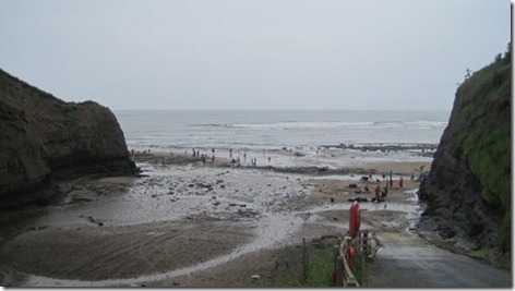
Robin Hood’s Bay - A Day of Many Cakes

My walking day on Friday started with cake. It was only 9am, but I had already dropped Mick off in Grosmont to walk with Jack Frost (an American chap who we met when he was walking Land’s End to John o’Groats in 2011, and who, having walked the Camino de Santiago last month, had popped back over to the UK to walk Wainwright’s Coast to Coast). I had duly delivered Colin back to his pitch in Robin Hood’s Bay and was about to set out to walk back to meet Mick and Jack, when hunger drove me cakewards.

I met Mick and Jack sooner than I expected, but not before I had submerged both feet and parts of my legs in wallowing bogs on’t moors.

Having taken a different route on my outward leg to intercept them, there wasn’t much repetition in my day, and all recollection of having walked Graystone Hill moor when we did the C2C ourselves in 2008 had long since departed. I guess that, with one heather moor looking very much like the next, there was nothing about this one to make it stick in my mind.

The second episode of cake occurred just before we left that moor, to walk down to Hawsker and on to the coast, although the bit between Hawsker and the coast was broken by a stop in a cafe at a holiday park. Cake may have featured, along with lashings of tea.

The forecast weather for today was heavy rain, without intermission, from about 4am to 4pm, and to the point where we entered the cafe the rain had been pretty persistent, but not uncomfortably heavy. By the time we left the cafe it was really coming down. Still, it was only three miles to Robin Hood’s Bay.

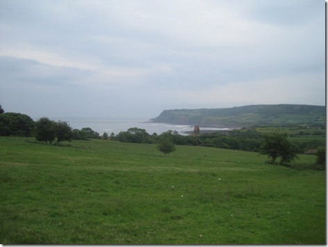
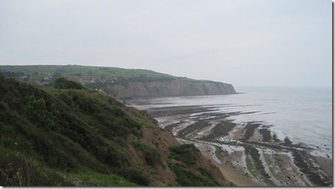
The coast path, in keeping with the dampness of the weather, was muddy, which would barely have been noticed (save for the odd slip and slide) had there been views to capture our minds. Alas, the views were somewhat curtailed, and the grey sky merged seamlessly into the grey sea. It’s a lovely bit of coast, but it just wasn’t being shown off at its best today (which was a shame for Jack, as it’s his first time in this neck of the woods).

IMG_5418

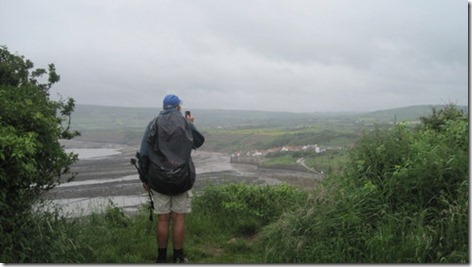
This was the only time we broke the camera out, to snap Jack as he snapped his destination

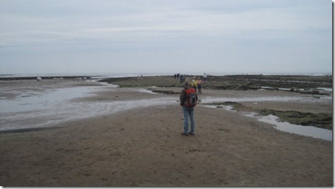
Many C2Cers (mainly Australian) were celebrating on the beach when we got there, and Mick & I did duly shake people’s hands when proffered, but in response to the congratulations received, we did have to confess that we had only completed a day walk.

What to do next, but to take our dripping packs and attire off to a nice tea room for much more tea – and some cake*?

The weather was a shame, and did spoil the views, but it didn’t detract from a grand day of catching up with Jack.

The stats for the day were 14.75 miles walked for Mick and 13.75 for me with Mick having 600’ more ascent than me, at 2700’.

(*There has been one cake-eating incident omitted form this account, purely to stop anyone suggesting that I should join Cake-Fiends Anonymous.)

Robin Hood’s Bay Navigation Failure!

Having snuck a day off work, last Thursday morning saw us throw a few things into the back of Colin and set of up to Robin Hood’s Bay, where we arrived early in the afternoon. Pausing only for lunch, a cup of tea and cake, we headed off down towards the Bay (we were staying just above it) to take a short circular stroll in the direction of Ravenscar.

IMG_5412

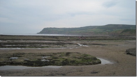
Navigationally, things did not go well! Could we find where the Cleveland Way path left Robin Hood’s Bay to the south? Nope. Down to the beach we went…

IMG_5414IMG_5415

…without having seen any sign of an acorn waymark or a path since before we dropped down through the village. I looked at the map and realised that was because the path was back up there, right by the telephone box. So, back up we went (if you haven’t been to Robin Hood’s Bay then you’ll not know quite how steep that road is!), but despite significant poking around, we just could not find any trace of the path.

Not to be defeated we modified our plan. It was a circular walk, and we would walk it in the opposite direction thus flushing out the location of the missing path on our return. Out along the Cinder Track (disused railway track) we went until the hour of day suggested that we should head back, whereupon we took the opportunity to turn towards the coast at the next road junction.

That happened to lead us to Boggle Hole, where finally the grey sky decided that it could hold its water no more. That didn’t put off the hoards of children who were on the beach just below the Boggle Hole Youth Hostel (no doubt on a school trip which had booked the place out).

IMG_5416

Mick suggested that we should walk back along the beach, but that would have left the location of the Cleveland Way a mystery, so up from the bottom of Boggle Hole we huffed and puffed before heading along the cliff top back to our start point.

IMG_5417It turned out that there is a clear acorn and ‘Cleveland Way’ sign, which we had missed, down one of the little side streets just before the beach in Robin Hood’s Bay (which isn’t where the 1:50k map made it look like the path lay – but that’s always the problem trying to navigate in a place where there are lots of buildings shown – they drown out the pink dashed line). At least now, if we come to walk the Cleveland Way heading south along this section, we won’t go awry!

It was a pleasant afternoon’s stroll, of 6 miles in length. Pity about the greyness; it seems to be our theme this year.

Sunday 23 June 2013

Congleton to Wheelock

There was Conrad, having himself a nice, quiet, solitary multi-day walk along Cheshire Ring Canal Walk when he found his solitude gate-crashed.

It all came about when I received an email from JJ yesterday morning, asking if we fancied joining Conrad for a day, either today or tomorrow. That sounded like an excellent plan, but as that pesky work malarkey tends to get in the way of Monday walking my only available day was today.

And so, after a start which was at a distinctly uncivilised hour for a Sunday, we arrived in Wheelock (which just a few paces outside of Sandbach) at 8am to find JJ loitering on the exact bridge where he said we would find him loitering. Twenty minutes later (having abandoned our car in Wheelock) we were in Congleton, where Conrad was all packed away and ready to walk.

Alas, after a handful of dry days in the last week, and forecast of dryness for the week ahead, today’s forecast was nothing short of soggy. Heavy rain, said the Met Office, from 4am to 4pm. I clutched at my long-established belief that the weather in this country is seldom as bad as forecast and that theory was borne out again today. We did get rained on, quite a lot, but there were dry interludes and never did that rain meet my definition of ‘heavy’. Latterly, it even dried out and brightened up – but only for the last couple or three miles.

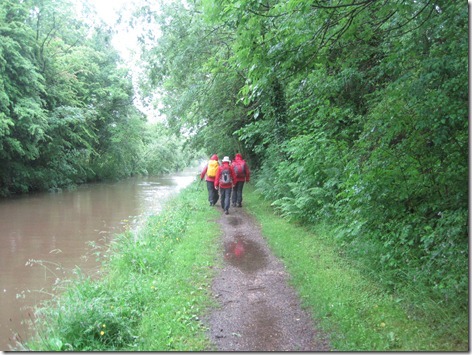
It was decidedly soggy when I took this snap (good job I wasn’t in it; I would have let the side down with my blue jacket):

IMG_5408

I’ve no idea where I took this next one, because I was chatting far too much to pay attention to our progress and location, but I was paying just enough attention to realise (as we passed a sign about Little Moreton Hall) that we had walked along this bit of canal before. I’ve subsequently looked at a map and now realise that we walked all but five miles of today’s walk on our LEJOG in 2008. On that occasion we chose to take one side of a large triangle by going via Little Moreton Hall, whereas today we took the two sides of the triangle.

IMG_5409

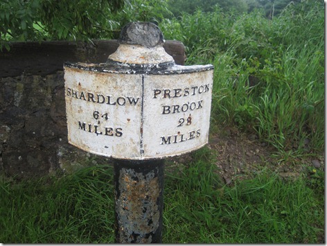
Mileposts featured a lot, as the whole of today’s walk was on canals, and I was paying enough attention to this one to come to realise that we were on the Trent & Mersey canal. If we had turned left rather than right at the junction from the Macclesfield canal and continued walking for a couple or three days, then we would have arrived home (which would have made it logistically tricky to collect the car, which was, of course, in Wheelock, not to mention how inconvenient it would have been for JJ whose car was at the other end of the walk).

IMG_5411

Rode Heath saw us finally find an establishment serving tea (about seven and a half miles after we first started hankering after tea, thanks to someone having fed Conrad some duff information about a local marina housing a tea shop) and a nice long break gave our jackets time to dry out. Not long afterwards, the rain stopped and, at one point, there was even a hint of a shadow in evidence.

Back at Wheelock we left Conrad to enjoy a bit of peace and quiet, as he continued on his way to Elsworth, when we bade him farewell and peeled off to retrieve our car and to take JJ back to his car.

It was an excellent day (if you overlook the rain), in excellent company, through some very green and pleasant surroundings. The stats for the day were around 14 miles with about 3 feet of ascent (there may have been a tiny smidge more than that, but it certainly wasn’t a lot, as all of the locks we passed were going downhill).

Thank yous go to JJ for suggesting the walk, and for Conrad to allow us to gate-crash his walk!

Thursday 20 June 2013

TGO Challenge 2013 Photos (Part 4–North Water Bridge to Nether Warburton)

Day 12

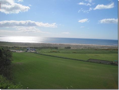
Only four photos from this, the final day of our walk and every single one of them features blue sky! They were also all taken within a mile of, or at, the finish, but I seem to recall that there was blue sky in view the whole time that we were walking (even if the sun hid behind clouds far too much for my liking). We had had the sea in view for a while, but this was when we first got a proper view of Nether Warburton:

IMG_5396

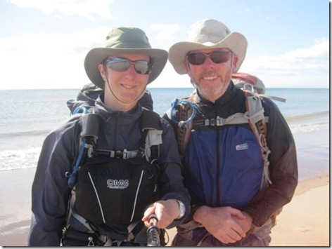
And after making our way across the old river bed (the river re-routed itself after a flood in a year that I can’t recall; there was an information sign telling us about it), through the dunes and down the beach, here we were: happy to have dipped our feet in the sea (but still failing to manage to take a photo with the Stickpic without getting the pole into the shot):

IMG_5398

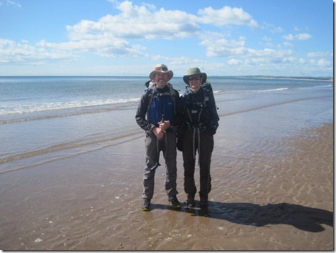
Having reached Nether Warburton, we then ambled up the beach to St Cyrus, where we found Aussie Mike who kindly took this photo for us (note that we’re going to try to achieve photos at two finish points again next year, but next time they’ll be more than half a mile apart):

IMG_5402

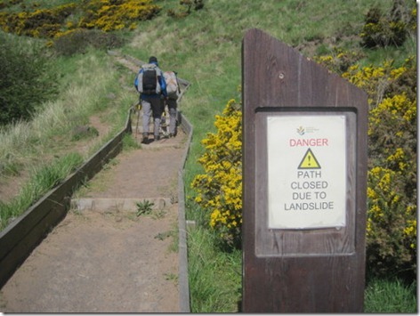
The only thing left for us to do was to make our way up the cliff path to get to the bus stop so that we could get to Montrose to sign out. I would say, based on the evidence of this final photo, that Mick and Mike ignored the cliff path closure, but it turned out (when I caught them up at the top) that they hadn’t even seen the sign.

IMG_5403

So that’s it: that’s the photos from this year’s Challenge. Next year a far bigger percentage will include blue skies and/or views (I can live without the blue skies if we get the views, but given the choice (and if I was to be really picky) I would like both).

Tuesday 18 June 2013

TGO Challenge 2013 (Part 3: Glen Feshie to North Water Bridge)

Following swiftly on from Part 2, here we go with Part 3, which starts with:

Day 7

After so much greyness and low cloud, it was a delight to wake up on Thursday morning to find wall-to-wall blue skies outside. I took this snap just as soon as we were out in the open, by which time some wisps were appearing. I feared that they heralded the onset of yet more greyness and I wasn’t wrong – but for the first part of the morning we enjoyed the blue skies (even if we were often in the shade of the valley).Day 7_1

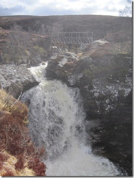
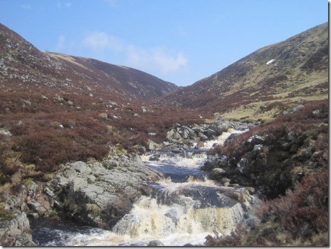
I hadn’t realised what a poor picture this next one was, but it does serve to show that there was quite a bit of water in the waterfall which lies just about where our path was to leave the side of the River Feshie (which swings right around on itself at this point) and head over to pick up the Geldie Burn.

Day 7_2

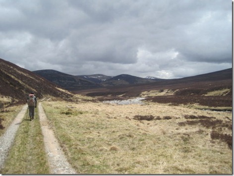
As you can see, it was well and truly cloudy again by this point, and I can’t say that I was overly enamoured with the track that leads alongside the Geldie. The surroundings were perfectly pleasant, but they weren’t stunning (although I’m sure they’d look better under a blue sky!) and that track seemed to go on for ever.

Day 7_3

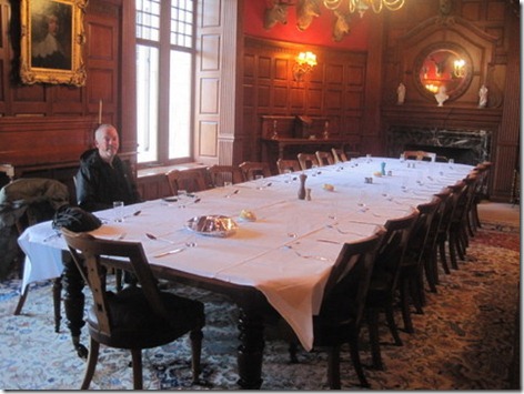
That night, our dining facilities were somewhat more grand than usual, as four of us sat down for dinner in the huge dining room at Mar Lodge:

Day 7_4

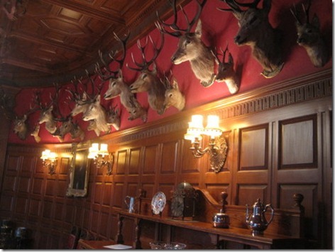
We did have a feeling of being watched…

Day 7_5

As Terry Pratchett would observe, those deer must have hit that wall at a hell of a speed.

Day 8 (and Rest Day)

On Day 8 we walked all the way from Mar Lodge to Braemar, taking the short scenic route (in preference to a road walk). Being shy of 5 miles, it couldn’t be considered a taxing day!

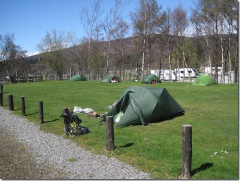
Arriving in Braemar there weren’t many already there so we had our pick of the pitches. We took a lot of time and care picking our pitch … but somehow completely failed to notice that the place we picked was in a dip. Maybe it was because we were meant to be walking out the next day and it wasn’t due to rain in that time. As it went, Mick awoke with a cold the next morning, so we stayed put. It rained very heavily and persistently on Saturday afternoon – the sort of rain where you say “I’m glad we’re not out walking in this”, so our decision to stay put was a good one, but the rain also served to prove that our pitch choice had been a bad one. By Saturday evening our tent was notable for being the one with a moat. Alas, the moat extended into the porch and under the groundsheet and hence at 8.30 on Saturday night we picked Vera up and carried her to a higher position.

Day 8_1 (2)

Day 9

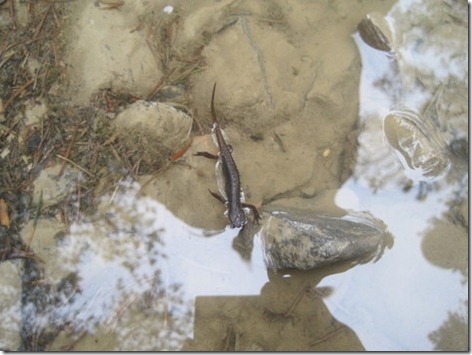
Walking through Ballochbuie Forest, we had just bumped into Lindy, and were walking along, chatting about her backpack, when I saw something in the puddle at my feet:

Day 9_1

It had been quite warm walking through the forest, but it got cooler as we ascended into the cloud (which for me also served to skew any sense of distance and direction). We knew that there was a stunning view of Lochnagar over to our right at about the point where the next photo was taken, but on this day we saw nothing until we reached the top of the track, whereupon there was the tiniest glimpse of brightness.

Day 9_2

It turned out not to be just a little random hole in the cloud, but it heralded the start of a gorgeous afternoon. By the time we stopped for lunch at the picnic benches in Glen Muick we were basking – which continued as we made our way up to Shielin of Mark bothy.

Day 9_3

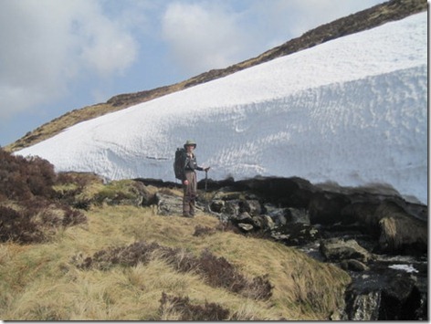
You may have noticed that snow featured on the track below Lochnagar, but that was nothing to the size of the bank that we encountered later:

Day 9_4

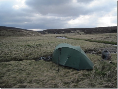
Somewhere in the vicinity of Shielin of Mark bothy was our intended night-stop and we stuck with the plan. We were a little anti-social, in that we sought a bit of not-quite-so-tussocky ground (the area around the bothy is no bowling green!), which led us up onto an island in the river a hundred yards or so upstream. It wasn’t a bad pitch (it wasn’t the fault of the pitch itself that we spent the night inside of the cloud which descended as night fell):

Day 9_5

Day 10

We didn’t take any photos on our way up and over Muckle Cairn, but then there wasn’t much to see, being enveloped in cloud as we were. The cloud had lifted by the time we got down to Stables of Lee (the group who spent the night there woke up bathed in sunshine. Grrr!). I remember taking the snap below purely because I was aware that I hadn’t taken any photos all morning:

Day 10_1

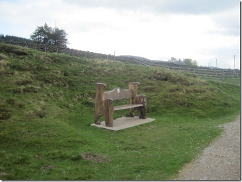
See that bench below? I took that photo about five paces from the extraordinarily uncomfortable rocks upon which we had perched for second breakfast. Obviously, I wish I’d noticed it before choosing where to stop for second breakfast!

Day 10_2

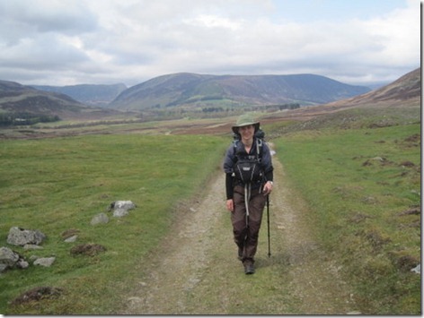
Judging by this one, it was a warm day, even if it was cloudy. Sun hat on and sleeves rolled up – that doesn’t happen just every day, you know.

Day 10_3

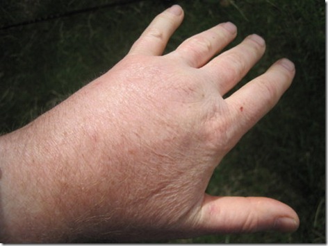
Oh, and Mick’s hand! He had taken a nasty fall the day before and his hand was still in the process of swelling when we reached Tarfside.

Day 10_4

Just for comparison purposes, this is how his hand looks today, now that it’s all better:

IMG_5407

Day 11

Oh dear. We really had forgotten that the cameras existed by now. Not a single photo worth sharing from the whole of Day 11, except for this ridiculous one of me at the campsite at North Water Bridge:

Day 10_5

I haven’t quite perfected the dance style that Andy Howell demonstrated on last year’s Challenge (I still titter every time I see this one!):

IMG_2242

So, we’re nearly at the coast. In fact, so close that if I had another ten minutes at my disposal right now then I would pop the other pictures in right here. As I’m lacking those ten minutes, I’ll just have to string this photo series out for one more post.

Click here for Part 4 of the Photos

Monday 17 June 2013

TGO Challenge 2013 Photos (Part 2: Mamore Lodge to Glen Feshie)

Following on from Part 1, here we have Part 2 (you can tell that I’m going to be quite predictable in the numbering sequence of this series, but the whole purpose of that statement was really so that I could add a link back to Part 1).

Day 4

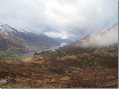
I hadn’t noticed anything odd in the sound of the rain that fell on Sunday night, so it was a surprise, when I stuck my head out of the tent on Monday morning to find that the hills had a good covering of snow (admittedly, this photo makes it look more like a dusting than a covering, but it was far more than just a dusting):
Day 4_3

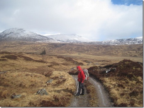
The first part of the day was easy as we followed the track alongside Loch Eilde Mor and onwards towards Luibeilt. By the time stamp on the photo and the building in the background I’m deducing that this photo was taken just before we turned off that track. The blob in between Mick’s head and the snow line is Meannach bothy (which may only have one ‘n’ but the map isn’t helpful on the subject as the name on the map has far more letters than the official name of the bothy).
Day 4_4

I didn’t take many photos of the next four miles of ridiculously boggy yomping. Much of the reason for that was the inclemency of the weather, as snowy squalls kept blowing through. I did snap this one when Staoineag bothy came into view, but it’s so poor that I can only make out the bothy because I know that it’s there:
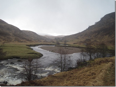
IMG_5313

It would have been good if we had arrived at the bothy ten minutes sooner, before the most violent and long-lived squall of the morning hit us, and we sat inside for a good half an hour waiting for it to let up, just so Mick could go and get some water for tea. Eventually tea was drunk and lunch eaten and it proved to be a good long break. The sun came out just before we left. Alas, it was short-lived and by the time we set out again it was snowing again.

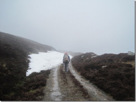
There is a path leading down to Loch Treig, but it was awfully waterlogged on this day. The heaviest snow of the day fell as we left Loch Treig. On and on and on it went with some violence, adding even more to those white tops.
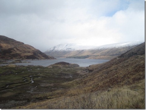
day 4_5

The length of Loch Ossian was thoroughly unexciting, although the ‘lodge’ at the north end was noteworthy, and exactly per our plan (well, the revised plan – the original plan would have seen us spending the night at Staoineag bothy) we stopped as soon after Loch Ossian as a pitch presented itself. It was rather a nice pitch too, even if the Uisge Labhair was absolutely roaring. Oooh, look – blue sky too! (Didn’t last long, mind!)

Day 4_6

Day 5

Another day, another damp, grey start. It was a deceptively strenuous start to the day as we yomped through more bogginess:
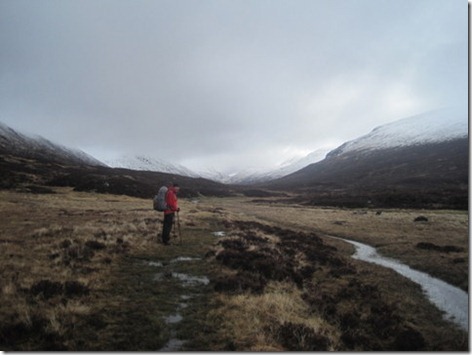
Day 5_1

Then we reached the path up to Bealach Dubh and it was a delight of a path! And the cloud was lifting and giving us sight of some tops. And I don’t think we’d even been rained on either!
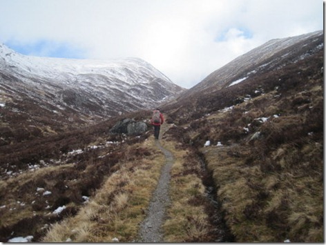
Day 5_2

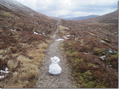
Down the other side of the path there was some slip-slidy snow covering the path, soon after which we found a cold chap blocking our way:
Day 5_3

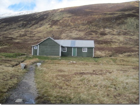
The day was still reasonably fair as we arrived at Culra Lodge bothy. We’ve camped nearby before, but this was the first time we’ve been in. There are three rooms, all accessed from outside (and not interconnected inside) and picking a door at random we found ourselves joining Adrian (the maker of the snowman, who had camped by us the previous night (Adrian, not the snowman…)) inside.
Day 5_4

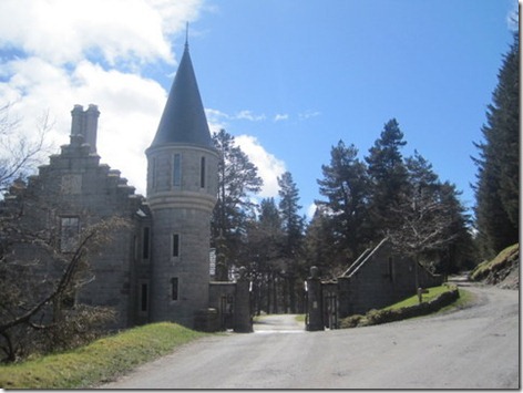
The day then got better and better from a weather point of view. Sunhats came out and jackets came off, so it was a shame really that we were just marching along the track alongside Loch Ericht. Our vetter had suggested that we should go over The Fara, and if it hadn’t been for my wrist and my knee, that’s exactly what we would have done. For reasons unknown, neither of us took a snap of Loch Ericht in the sunshine, so I’ll use this one of the gatehouse to Ben Alder Lodge to demonstrate the gloriousness of the sky:
Day 5_5

Day 6

Let’s start Day 6 with 3 ridiculous photos of me!

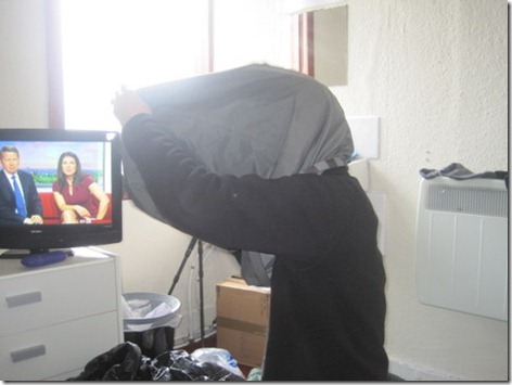
Taking advantage of our room at Dalwhinnie Bunkhouse being big enough to swing my arms around, and whilst waiting for the weather forecast to come on the telly, I had a quick look to see whether I could find the hole in my dry bag. Mick thought it was a good photo opportunity.
Day 6_1

Is it my imagination, or is the female breakfast presenter looking a bit incredulous at what I’m doing?

The walk along the aqueduct as we headed out of Dalwhinnie towards Loch Cuaich seemed very familiar. Aside from the fact that it was cold, damp and grey, I felt like I could have been in California, so I adopted a silly pose for photo-comparison purposes…
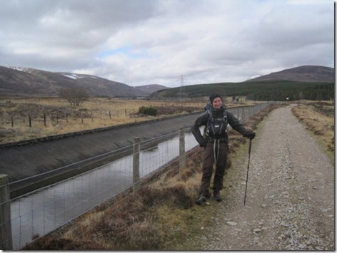
Day 6_2

…alas, it wasn’t quite the right silly pose, but spot the similarities with our walk along the Los Angeles aqueduct, as we entered the Mojave plain on last June’s jaunt on the PCT:
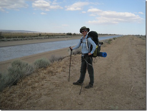
IMG_2300

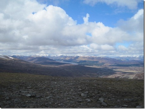
Back to Scotland in May and on the spur of the moment, as we ate second breakfast, we decided to go up Meall Chuaich. Here’s the view back towards Loch Ericht and the Ben Alder range. Stunning! Best bit of the whole Challenge, in my opinion.
Day 6_3

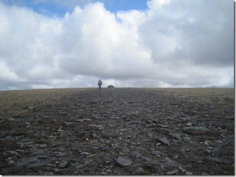
And here’s Mick heading towards the summit cairn. We completely failed to take a summit photo, or indeed any piccies of the view from the summit.
Day 6_4

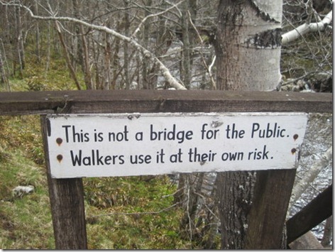
A couple or so hours later, we took our lives into our hands as we crossed a bridge at our own risk (albeit the sign wouldn’t have carried much legal weight if we had come a cropper, being sited at far end of the bridge):
day 6_5

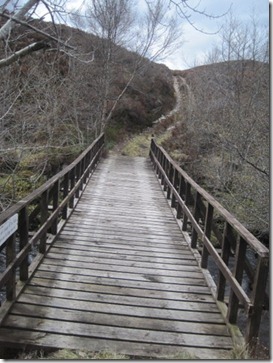
Usually we see such signs attached to rickety bridges. This one was about as solid as they come (and it’s not at an angle, it was me that was at the angle):
Day 6_6

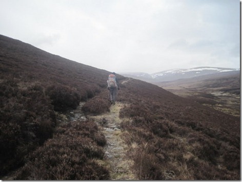
A wee while later we were supposed to be leaving the track we were following in favour of a path. The path didn’t exist, but we could see a definite line further up the hill, so up through the heather we huffed, puffed and bashed, as it was quite clearly a track. It was a lovely old track, being reclaimed by nature, with the only problem with it being that it was about 70m higher than we were supposed to be. That wouldn’t have been an issue, if it hadn’t been for the track suddenly ending just a few hundred yards after we joined it. We spent the next couple or three miles yomping through heather with our ankles at an uncomfortable angle. On the bright side, it was a lot drier up there than it would have been down by the burn:
Day 6_7

We didn’t completely escape bogginess. In fact, we ended up wading through considerable quantities of bog as we crossed a valley to join a track. After the first little while, the track was dry underfoot, which was the cue for the first shower of the day. I didn’t don overtrousers, convinced that it would pass within minutes. I was wrong. Twenty minutes later I was sufficiently wet to think that there was no longer any point in digging out my waterproofs. By the time we reached our intended night-stop the rain had stopped and walking on seemed like a good idea for a number of reasons, one of which was so that I could dry out before we camped.

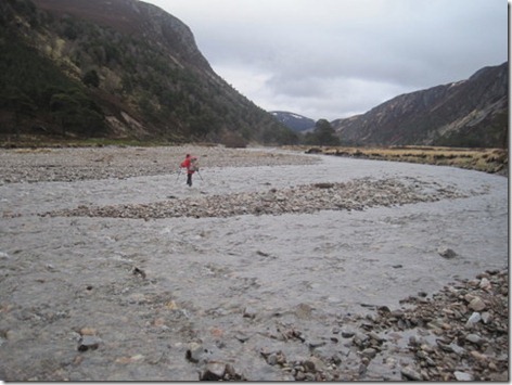
Our second intended night-stop was on the near bank of the Feshie, but when we got there we thought we may as well cross as not, so that’s exactly what we did. My trousers had dried by this point, but the lower legs didn’t stay that way:
Day 6_8

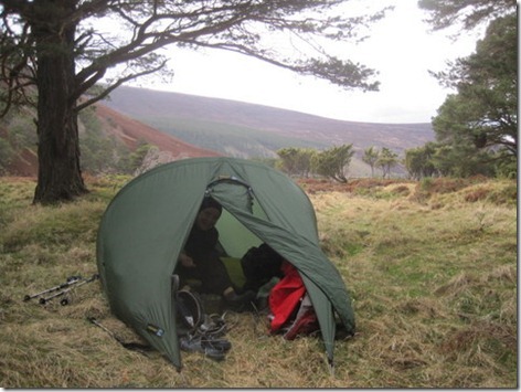
And then a meal was made about finding a pitch. At the time it felt like we were ‘settling’ rather than having found something desirable, but actually, it wasn’t a bad spot at all:
Day 6_9

Click here for Part 3 of the Photos