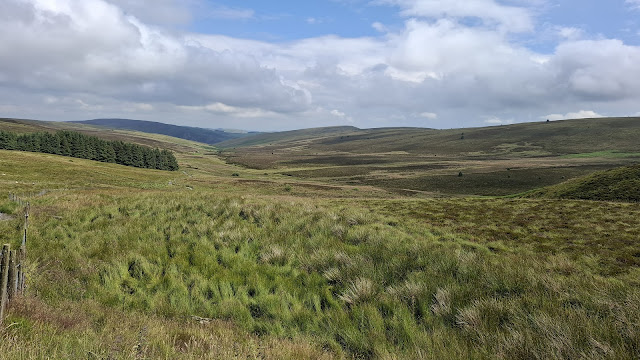
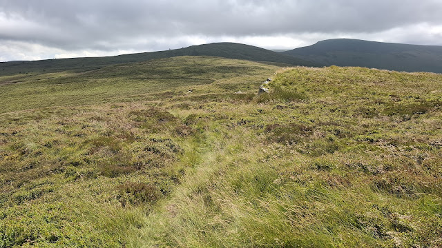
What an excellent day I had! I can wax lyrical about this route (even if that is self-congratulatory in that it was of my own design). With lovely immediate surroundings, great views and interesting buildings (particularly the chapels, from a little quaint one, to a big abandoned one in an unlikely location), it made me a very happy backpacker. Even being chased by a dog shortly after setting out, at the only farm I passed through, didn’t dampen my spirits (the dog barked and chased; it didn’t snarl and lunge).
I shall narrate via the photos:
Just after passing
through the farm of the chasing dog, and off road onto my first track of the day:
Just out of
frame to the left of the photo above was all manner of farm equipment. Amateur, as farm dumping grounds go:
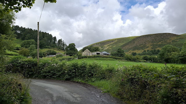
View N from Gyrn Moelfre – the quaint tiny chapel is nestled in the trees just right of
centre:
Proof that I was there taking these snaps:
Bit of a
random snap. Placing an online order last week, I was £2.03 short of getting
free postage (otherwise £5) , so I bought a high protein snack bar for £2.09
(purely because it was the cheapest item I could find on the website in
question). I don’t know who positively chooses to buy these, but it certainly didn’t
suit my tastes. I can only assume it was so incredibly sweet to take the mind
off the pasty texture.
Looking
from the summit I’d decided it was almost certainly feasible to drop down the N
side of the hill, but I didn’t prove the point because I had no interest in
cutting 1.5km off my route. Descending to the E took me onto this nice grassy
track.
The most
recent OS mapping still shows the route continuing along the track, through
this gate, but the signage tells of a permanent official path diversion. The
revised route is to the detriment of the walker (moreover horse and bike riders)
to such an extent that I spent the length of the diversion mentally writing a
letter of complaint (that will never make it onto paper) to the council.
The
diversion gave me an onwards choice between two tracks, and I opted for the one
that didn’t go between farm buildings. When I got to this bit, and had to wade
the last puddle, I wondered if I’d made the right choice.
Now that’s
a farm dumping ground! There is more than one car in that stack.
Then it rained…
…and these cows celebrated my visit by repeatedly stampeding right up to the fence, before stampeding back across the field:
What to do
when you find a bench at lunchtime, but only 700m before you hope to find a pub? Clearly, my decision was to avail myself of the bench for first lunch.
Interesting
design of church tower/spire, I thought:
Hmmm. That
pub is definitely not open, is it?
That’s a
big old (now abandoned) chapel 3km up a 4km-long dead-end road:
Had I taken
the footpaths on the other side of the river, rather than pounding the tarmac,
this is where I would have emerged. Looking every bit as nettley and overgrown
as I’d expected, it bore out my decision to stick to the road.
Let’s hope
that’s for motor vehicles only!
A remarkably
easy ascent on a gently ascending track, but after Monday’s rain it was in
various states of river-esque:
The reason
for the ‘road’ closure I assume:
I’d seen ‘shooting
hut’ on the map and envisaged nice cropped grass outside where I could enjoy
afternoon tea. I also intended to pick up water, as this was the last place
where the map suggested I came close to running water (the map didn't know that the tracks had temporarily turned into streams). Clearly the tea break notion
was out of the window, and aside from the fact that the river was such a deep brown
colour, I decided that diverting to find water later was preferable to carrying
it for the next 8km.
Looking
back the way I’d come:
Turning
left onto the Berwyn ridge at the top of the track, it was a narrow, and very
wet, path that took me onwards. I imagine it’s usually quite dry most years in
July.
Ooooh, duck
boards! A nice dry-footed interlude:
View along
the ridge. My earmarked camp spot was above the top corner of the far (mainly
felled) forest.
Cadair Berwyn selfie. Need to look at my phone settings and see if I can stop it from blurring the background in summit selfies.
I could easily have pitched up on the ridge if: a) it hadn’t been so windy; and b) I had opted to carry water from the shooting hut. There was water everywhere up there, but in the manner of bog and murky pools, so ‘water water everywhere, not a drop to drink’. So I descended towards my earmarked spot and found some good pitches, but no nearby water (you can see on my gpx line on the map snippet at the top that I took a little detour down to the N, but not being able to hear any tinkling or babbling, I reascended for a rethink).
There’s
definitely water down there, but from this vantage point the ground surrounding
the llyn doesn’t look great for camping.
Unexpected!
I took a little detour to make sure there wasn’t a farmer lying dead or injured
alongside, but up close I could see it had been there for some time:
Far from an
ideal pitch, but not the worst I’ve ever had:
I was pitched, with the kettle on by 1730, so rather earlier than I had hoped, but I’d not seen anyone since lunchtime, and only seen one set of footprints on the ridge, so figured it was unlikely anyone was going to happen along.


Excellent. Proper backpacking. I reckon the Welsh Ms would be a fabulous challenge. Outstandingly worthwhile hills and more accessible than Scotland. Doing the Welsh ones would be a do-able target whereas the Scottish ones would be perhaps too big a venture, especially with the logistics involved. I had smile at you trogging along composing that never to be sent letter - how many times have I done that.
ReplyDeleteIf my records are correct (and there's a good chance they're not, as I keep finding unlogged hills lately) then I've done 66 of the 159 Welsh Marilyns, so I've still got a good number to go at. With so many glorious areas in Wales, there's the potential for many more happy backpacking trips yet.
DeleteAnd, because I know you'll wonder: I've got 27 English Marilyns left, at least two of which I will likely never do (Crowborough, because I'm not going to go significantly out of my way to stand on a residential street, and Swinside, because of its lack of public access). I really need a trip to the SW to knock off a big bunch down there.
Delete