
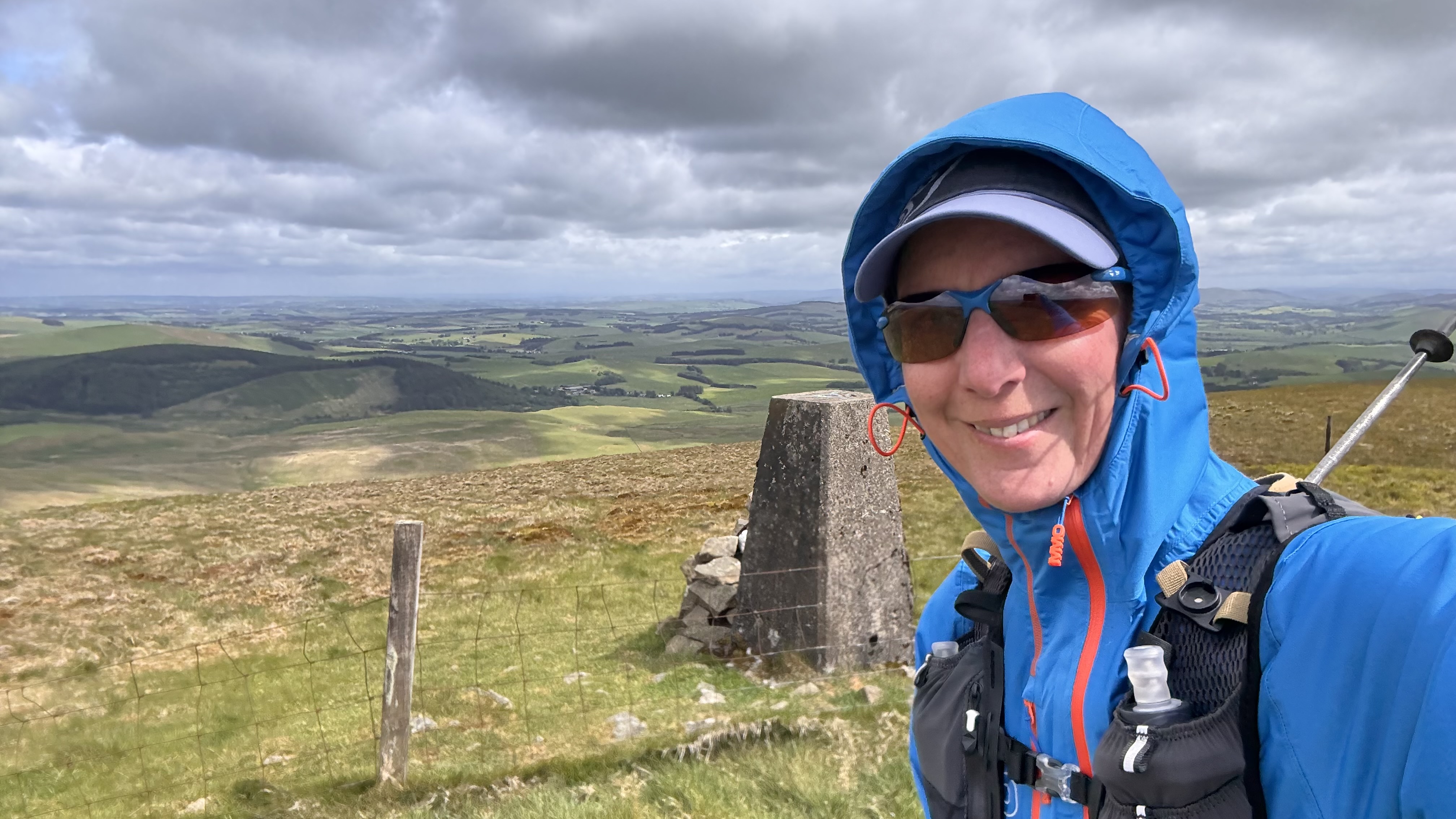
A trodden line led me up Trahenna Hill, somewhere on the upper reaches of which a shower hit. A good test for the rain skirt in near gale force winds (probably actually gale force at the summit).
Leaving the top I decided, in my wisdom, to ignore the line I'd plotted on the map and take a more direct route ... except once you add up all the wiggles I introduced it was hardly any shorter at all. I discovered, starting here, that many of the hillsides hereabouts are newly planted with pine trees (neat rows, so commercial plantation style). At the moment it's an impediement due to the holes dug in the ground (to give the mounds upon which the baby trees are planted), but give it a few years and it will be the trees themselves that are an impediment. Due to all the planting, the area also has miles of new tracks that aren't yet even on Open Source mapping. I took advantage of one of them to get me from the track E of Hog Knowe, over towards Mill Hill.
It had long stopped raining by the time I reached Penvalla, but the wind was really blowing - fortunately pretty consistently; had it been gusting I'm sure I would have been blown over. Being a westerly, it didn't escape my notice that my intended high route from Ladyurd Hill to Brown Dodd to Wether Law (not the same Wether Law that I visited yesterday) would be somewhere between miserable and impossible in the conditions. So, I dropped down and made a decision that doesn't look too bad on paper: I turned S when I met the track leading to Stobo Hopehead, rather than turning N. That put me onto an old path that has in places been planted over with new trees, and in other places was a tangle of old heather stems (as evidenced by all the scratches now adorning my legs). I'm pretty sure that the lower level alternative, whilst slightly longer, was on better surfaces.
Having opted against the originally intended circuit, I had an out-and-back to my final summit. The cross-wind fought me the whole way there and the whole way back. It was a relief to drop down and enjoy a bit of shelter for the final few kilometres back to my start point.
The views from all of these hills were superb, and I'm sure the high route would have been most rewarding in better weather. Still, I can't complain - given the choice between good weather whilst backpacking across Scotland or on a day walk around some hills, I'd opt for the former every time.

Selfie from first summit (Trahenna Hill) - trying to smile whilst the wind is trying to whip the phone out of my hand

Selfies from Penvalla & Broughton Heights

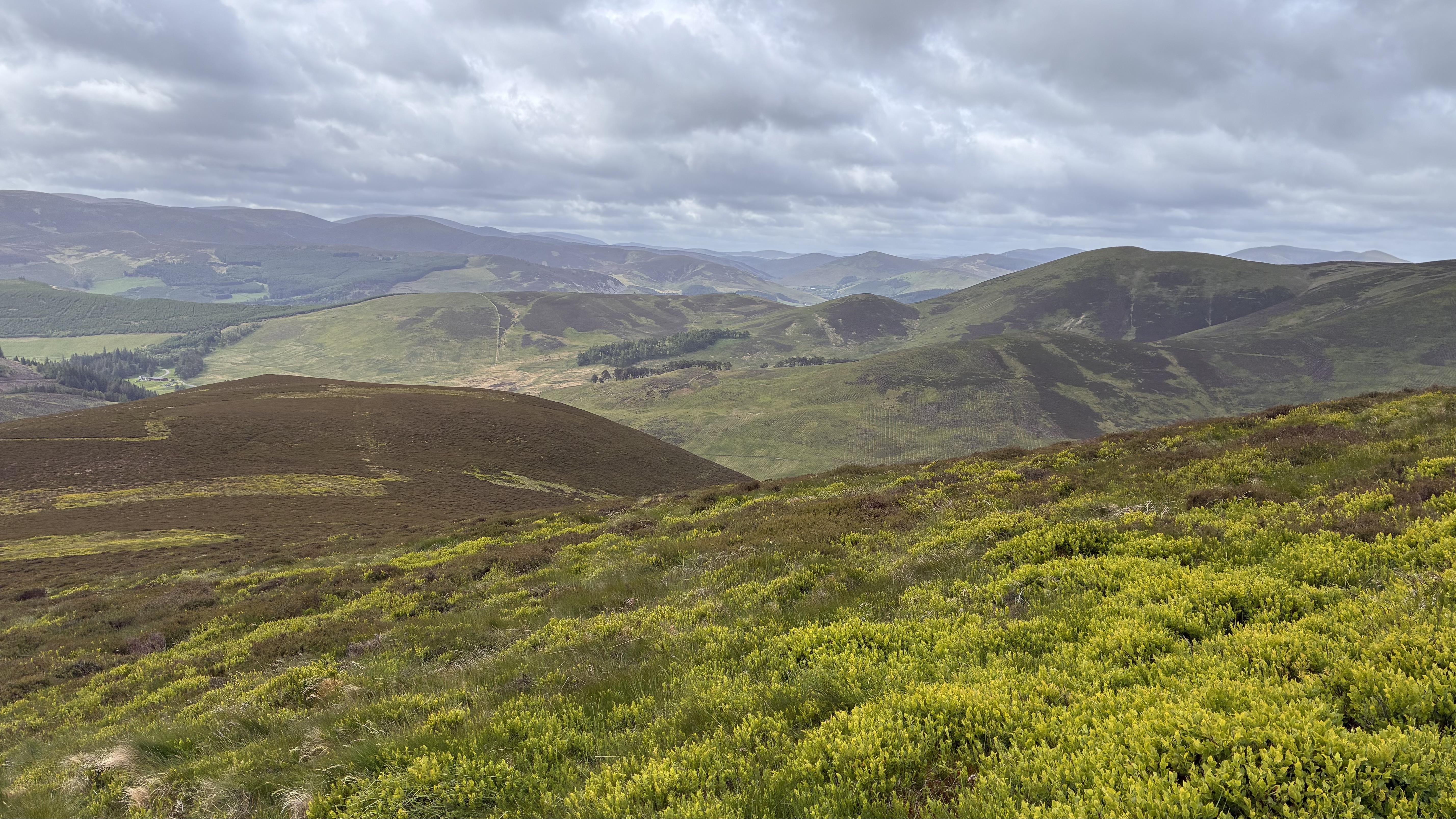

Views
I forgot to mention (just reminded by the photos) that I set out on this walk wearing a long sleeved baselayer, a fleece and my waterproof jacket, a cap and a buff over the top, and some gloves. I expected to find myself stripping off on the first climb, but remained so dressed for the entire outing. What a contrast to the TGO Chsllenge when I wore just a baselayer the majority of the time!
(*The estate has put a couple of signs up along the road, so we probably wouldn't have got all the way to the car park anyway)


Looks like superb walking country. A good example of Marilyns taking one to places one would otherwise miss. Keep them coming.
ReplyDelete