The Road goes ever on and on; Down from the door where it began;
Now far ahead the Road has gone; And I must follow, if I can;
Pursuing it with eager feet; Until it joins some larger way;
Where many paths and errands met; And whither then? I cannot say.

[JRR Tolkien, Lord of the Rings]

Friday, 16 June 2023

A Wetherlam and Swirl How Circuit (incl Great Carrs and Brim Fell)

Wednesday 14 June
Start Point: Coniston
Distance and Ascent: 15.6km, 1100m
Weather: wall-to-wall sunshine. Breezy on the ridge.
On Tuesday afternoon I’d contemplated what to do on Wednesday. I didn’t want to have to drive anywhere, and knew that I had no unbagged Marilyns to collect, so I turned my attention to what other summits were nearby.

After an extended period of failed password resets when I feared I may have lost access to my log of bagged hills, I finally managed to access hill-bagging.co.uk and establish that I’d not yet been up Wetherlam or Swirl How. “But you’re not bagging Wainwrights” observed Mick. True, but that wasn’t a good reason not to go up them, nor was it a reason to omit an out and back to Great Carrs that sits so close to Swirl How, with barely any difference in elevation, that it would have been silly not to visit it and gain a tick, even if on a list that I’m not collecting.

The weather was once again a little cooler than the day before (16 degrees at 6am today, with a forecast high of 26 or 28 depending on which forecast you looked at), but even so I was out walking at quarter past seven, so as to be back in time for elevenses.


A fabulous morning to be out. What colours!


On the shaded side of the valley, but still warm enough for a short skirt and vest.

The initial ascent up to ‘Coniston Fells’ was a path I’ve used a few times before, although always in the opposite direction. From there I was surprised to find my onward route to be a little trodden line, often grassy, rather than an eroded, well-used path. That surprised me, as surely Coniston is an obvious starting point for Wetherlam.


Where I’m headed. The trodden line was more obvious in some places (like in this snap) than others, although even where not so well defined, it was never faint enough to lose it.

Summit selfie atop Wetherlam.

Over there next


The next ascent, seen from closer-to

I passed three backpacking chaps on the next ascent. They were the only people I saw sufficiently close to talk to until I got back down to the mines. Having compared intended routes, onwards I went.

I was on my way back to Swirl How from Great Carrs when I met one of the backpackers again. He was also just doing an out-and-back, and I’d assumed from our previous short chat that he was also going to Great Carrs, as he’d referred to another nearby Wainwright. It turned out he meant Grey Friar (I hope he did also do Great Carrs!), and he explained that it made sense for him to go and visit it now as otherwise it sits on its own and would be awkward to bag. In hindsight, at this point what I should have done was to turn around and go with him. Instead, I now have one hill ridiculously near to where I was standing that I will need to visit separately (using the word ‘need’ in a loose sense, given that I’m not actively collecting Wainwrights…).

Whilst I’d completely failed to notice the sense of visiting Grey Friars, I had noticed that there’s the tiniest raise in the ridge to the north of The Old Man of Coniston that is also a Wainwright, and when I got to the point that I had intended to descend to Levers Water, I was having such a nice time that I thought I may as well quickly nip up it. Hence to Brim Fell I went. A look at the map suggested that the most obvious way back to Coniston from there was over The Old Man, and I dithered for a couple of minutes, eventually deciding that having been there only the day before, I would stick to the original plan (ignoring that I’d veered off it!) and descend via Levers Water. I passed the three backpackers on the way and having told them my route (which I clearly wasn’t on, and was now heading back the way I’d come) they playfully asked if I was lost.


Brim Fell with The Old Man of Coniston a short distance (and barely any ascent) away

I’m not sure the Levers Water descent was the best decision. The horribly eroded steep initial section was undoubtedly slower going than the engineered path off The Old Man would have been.

Incredibly, given that it hasn’t rained for some time, I managed to find a small section of bog as I made my way pathlessly past Levers Water. 


Levers Water, with my descent route beyond.

Then, having narrowly avoided a volley of flying rocks ejected with force from the rear wheels of a passing United Utilities vehicle as it negotiated a tricky bit of the track, I jogged back down to Erica, where Mick had cake waiting for me:


Another fabulous outing, and I could have happily chosen another one for the following day, if it wasn’t for the fact that we needed to go home.


The Old Man of Coniston and Dow Crag

Tuesday 13 June
Start point: Coniston
Distance and ascent: 13km, 875m
Weather: wall-to-wall sunshine. 18 to 24 degrees whilst out (hotter later).
Whilst doing an out-and-back to Walna Scar from Coniston on Monday Mick & I talked about previous visits to The Old Man of Coniston. In February 2014 we had two aborted visits to its summit on consecutive days, but I remember having previously been to the top, probably sometime between 2003 and 2006*. It is, however, one of the few hills for which I have no record of the date of ascent, and, as we were unexpectedly sitting in Coniston with no plans during a spell of fantastic weather, that seemed a good reason to go up there again.

Tuesday’s forecast was a little cooler than Monday’s, so we had a lie-in until 6. At quarter past seven we strode off up the road.

Our ascent route through the remains of mining infrastructure was exactly as I remembered from descending that path 20-ish years ago. Mick had no memory of it at all, even though it’s quite distinctive and I’m sure he was with me.

After a couple of hard weeks, in the heat and on the back of the previous day’s efforts (he’d done a second circuit in the heat of the day, whilst I sat around in the shade) Mick clearly wasn’t enjoying this outing as much as he’d have liked. It was a fine day to break the ascent with some pauses to admire our surroundings and I felt sure (having had many a day that I’ve miserably hauled an unwilling body up the first significant incline of the day) that he would rally as soon as we started descending.

Remains of mining activities

Low water (and Mick)
Nearly there! 
Contrary to appearances, someone hasn’t just speared me in the shoulder with a javelin!

The expected rally didn’t come and Mick didn’t hesitate in agreeing when I suggested that he would prefer a more direct descent via Goats Water, whilst I went via Dow Crags.  

Over there next

After the relatively still conditions of the last day and a half, it was breezy on the top of Dow Crags. The reversal of my hat is to stop it blowing away, rather than a misguided attempt at fashion, and I had to be careful on the rocky high point.

Just as I stood atop the rock utcrop of a summit, Mick had stopped alongside Goats Water and (I assumed) was looking up. I raised my arm, but that didn’t provoke a response in kind; I now know that he just wasn’t looking at the right moment.

At the start of the outing, at the junction where we took the path up The Old Man, we had met a runner on his way down; a few paces later we overtook a chap who we didn’t see again. The next people I saw were a few minutes after I left the summit of Dow Crags, when I met a singleton and a couple. I saw no-one else until part way down the Walna Scar Road, where I hit rush hour.

As the car park at the foot of the Walna Scar Road came into view, so did Mick, and I caught him at the gate, from where I slowed down to walk down the road with him.

Back in Coniston, Mick was all for going straight out for second breakfast but I thought that if we were going to sit in an enclosed space alongside others, then politeness demanded us to at least have some semblance of a wash first. Not long later we were to be found suitably refuelling ourselves:


(*Since getting home I’ve even pulled out our digital photo archive and painstakingly gone through all of our photos taken between those dates. It turns out that back then we didn’t feel the need to take a camera along on our walks. We’ve got a few photos of holidays, lots covering house renovations, but nothing of hilly walks.)

Tuesday, 30 May 2023

Tarn Crag (Sleddale) (NY488078; 664m)

Tuesday 30 May 2023
Start Point: Pull in on B6261 just W of J39 (NY573123). A better start point, even in a Bertie-sized vehicle, would have been at the start of the minor road that leads up Wet Sleddale.
Distance and ascent: 24.8km, 720m
Weather: gloriously sunny, albeit with a slightly cool breeze. 9 degrees at start, notably warmer by finish.


I’ve been up a lot of nice hills since Conrad gently coerced me into Marilyn bagging some years ago. I’ve also been up some pretty uninteresting, and dare I say, pointless 'hills'. All of the latter category were made worthwhile today, for if I hadn’t persisted in the collection of these summits I wouldn’t have found myself walking up Wet Sleddale, which was a magnificent place to be under a glorious blue sky - moreover as the dry conditions meant that it didn't live up to its name.

My long-held plan had been to approach this hill from Sadgill – a location not accessible to a vehicle of Bertie’s size. Last July I drove up Long Sleddale to Sadgill and having done so wasn’t in any rush to drive that road again (4.5 miles of overgrown hedges such that Erica was often being brushed on both sides, fortunately I only met two other vehicles although one was a bin lorry!) but as I was driving support for Mick that day I wasn’t at liberty to go and bag my hill.

With a bike at my disposal this week, I thought it would be a good solution to cycle in to Sadgill from the A6. Reading the logs on hill-bagging.co.uk, to see if I could glean any information about ascending Tarn Crag via Stockdale and Great Howe (so as to make a circuit of the outing, descending via the main track from the Gatescarth Pass), I happened upon a single mention of someone approaching from Shap. That held great appeal: as we were spending the night there, we wouldn’t have to drive anywhere, meaning Mick could have a lie-in. I perused the map and quickly came up with a plan.

Having used the track over the Gatescarth Pass via Sadgill a number of times before, and having never been into Wet Sleddale (and I doubt I ever would have found a reason to but for this hill), I was happy indeed to find myself there today – even though I found myself bare-leggedly wading through a patch of nettles within metres of leaving the A6 (I didn’t take that short-cut on the way back)! Once beyond the reservoir, the old, often grassy track was a delight. The first view of Mosedale Cottage bothy was impressive too – a glow of white paint on a building that was larger than I expected, nestled against some trees far up the valley.

It was just before 0930 when I reached my summit and the breeze up there was a little cool on my bare arms and legs, but not enough to make me reach for an extra layer. I took in the hazy views, took some snaps, looked up where the official summit lay, visited all other contenders for the high point, let Mick know my progress, and headed off to retrace my steps. A few minutes later I passed the only person I saw the whole time I was out (the day after a Bank Holiday, and during school holidays; I’ll wager that few valleys further west were as quiet!).

It was some hours later, when I looked at the map, that I realised that with minimal thought I could have made a lollipop of the walk by taking the E ridge to drop down to the S side of Wet Sleddale Reservoir. Careless of me not to notice at the time, but it was no great hardship to enjoy the valley in the opposite direction – particularly with the sun having moved such that it was now being shown off to better advantage.

I’d expected the descent to be quicker than it was. I reckon someone had been out and snuck a whole lot of ascent into the return leg that I’m sure hadn’t been there two hours earlier.     

In case I’ve not conveyed already: it was an excellent outing, even with the incident where I plunged both feet into the only bit of bog around. It’s rather a shame I didn’t have Mick with me, as it would very much have been his cup of tea too, but his legs were resting after his far harder efforts yesterday.

Snaps from the day:

Lovely grassy track 


Looking up the valley to Mosedale Cottage, far away (first snap) then closer to (second snap) 

Summit selfie

Looking east, approaching the reservoir. The view this way had been marred by the sun on the outward leg. 

Meanwhile back at Bertie:
There seems to be a cow at the door... 
The look on a cow's face when it's just been caught playing knock-and-run


Saturday, 9 July 2022

Hutton Roof Crags (SD556775; 275m)

Thursday 7 July
Start point: Car park on minor road to the south.
Distance and Ascent: 14.2km, 400m
Weather: Gloriously sunny and warm

From the car park to the summit of Hutton Roof Crags is around 1.5km with 120m ascent, so this could have been a very quick out-and-back.

As it went, once I got to the top...

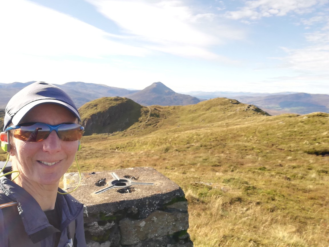
Trig point (but not summit) selfie

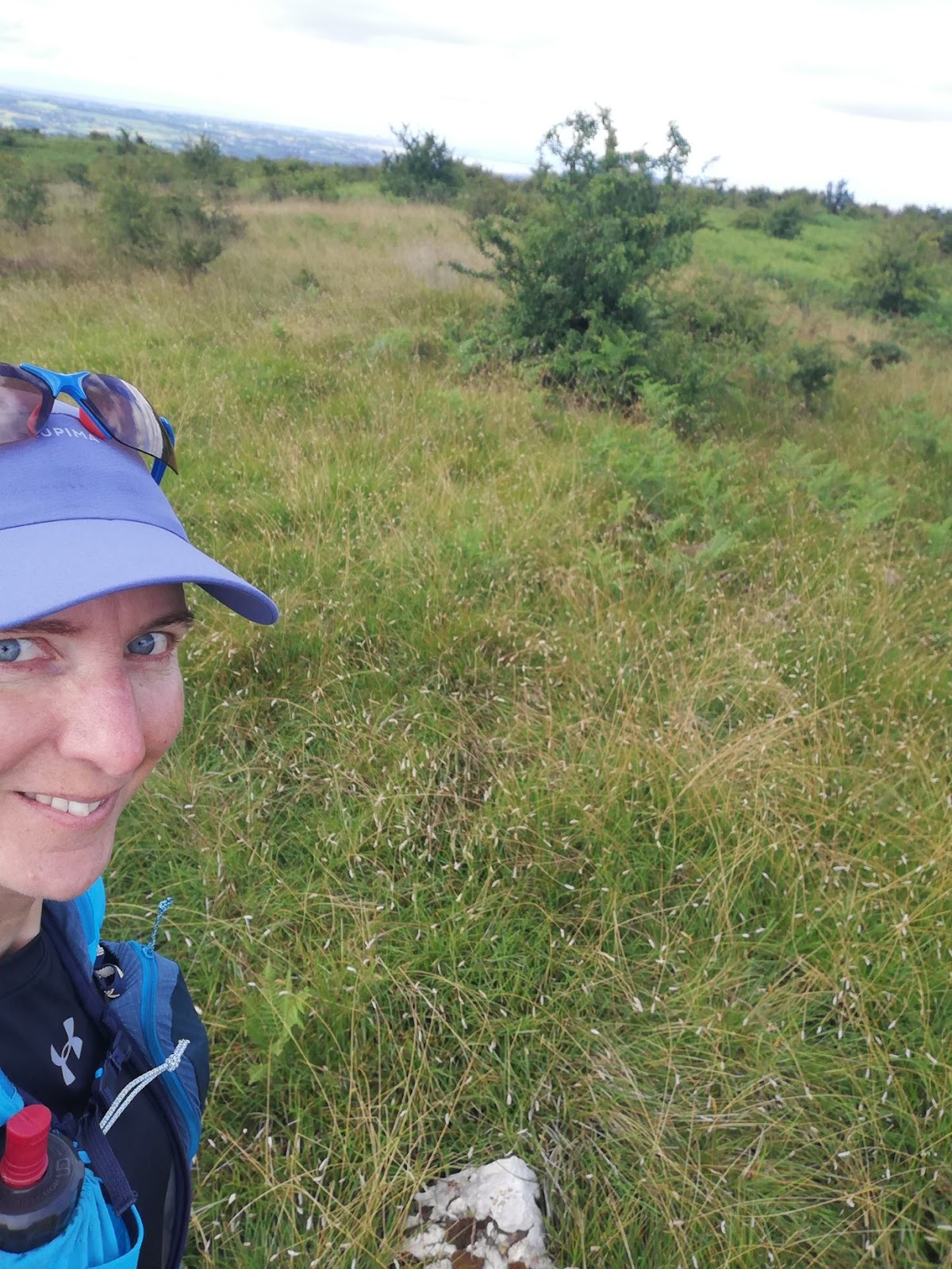
Summit selfie

...I paused to look at Open Cycle Map. Whereas the Ordnance Survey map only shows the Public Rights of Way (of which there are few, none going via the summit), OCM shows the reality of the situation and persuaded me to continue on northwards.

Other than that most of the going was like this...


...my progress along those paths was uneventful, and having reached Hutton Roof (the hamlet), I picked up a public footpath to take me back south.

Trotting back along the road towards my start point, I spotted an obviously little-used lane to my left, which caused me to look again at the map. That resulted in my making the route into a figure-of-eight, taking paths south to Hill Top before looping back via the road.

The first bit of that circuit was lovely, on a grassy track. Then, at a gate, the track ended and I was into pathless knee-high grass.


Pathless knee high grass. Admittedly easier going than tussocks and bog and, let's face it, as an add-on unrelated to bagging the Marilyn, I didn't need to be here at all.

Further on, I found an ATV track which took me off the line of the path, but I opted to follow for the easier going. Then I lost it, so headed for what looked like a gateway. Looks were deceiving, but the wooden slats running perpendicular to, but the other side of, the barbed wire fence, allowed me safe access to the field beyond, where another ATV track led me back to the line of the RoW.

I thought I'd found the worst bit of the route in the knee-high grass, but then I found myself in a yard secured by high gates. The waymarkers confirmed I was exactly in the right place, but I could see no stile nor pedestrian gate.

Not the best illustrative snap, but you can see part of one of the gates, and the clear finger post. A waymarker had led me into the yard too.

Fortunately the security gates were unlocked, so I let myself out, but surely gates like that only exist so that they can be locked, and how does one access the RoW when they are secured? Not a question with which I shall overly concern myself, as I'm highly unlikely to pass this way again and it seems that no-one else uses that path either.

I now thought I'd found the worst bit of the route in having to escape that yard, but the horse flies that had plagued me in the field were enjoying the environment of the lane even more. I was soon to be found running uphill trying to outpace them.

So, Marilyn bagged after passing by on the M6 umpteen dozen times and, overall, a good outing had, even if some of the latter bits weren't to be recommended.

Bonus limestone pavement snap


Friday, 8 October 2021

Dún Coillich (NN762536; 572m)

Start Point: Community Land car park to SE of summit.
Distance and Ascent: 4km and 290m
Weather: low cloud and light rain (of the sort that really soaks you).

Looking out first thing in the morning to find that the cloud was so low that we couldn't even see the far side of the road adjacent to which we were parked, I was thankful that I'd been up Meall Tairneachan in the sunshine yesterday afternoon. Originally I'd planned to do it this morning, before going on to the more modestly sized Dún Coillich, and it would undoubtedly have been a miserable and largely unrewarding outing in the conditions prevailing.

So that left me with just Dún Coillich to tackle, which I was confident was going to be quick and easy, given that I'd read that there was a waymarked trail leading from the 'community land' car park all the way to this summit. It was the knowledge of the waymarks and a path the whole way that had me decide to go packlessly, taking just my phone, so as to reduce the amount of stuff that would need drying afterwards.

The waymarks turned out to be so plentiful that it would take a serious lack of attention to get lost...

Green with white dots trail to the right (the one I was taking), green and white stripes straight on.

...but whereas I'd pictured an engineered path, the reality was a narrow trodden line variously through grass, heather, bracken and bilberry. Aside from the amount of moisture that got transferred from the plant life onto my legs, I had no complaints about the nature of the path. I did, however, have a slight beef about the weather. In view of the wetness, I was wearing full Paramo, and with the temperature having risen so much compared to the rest of the week, I soon found myself seriously aglow.

The angle of incline can't have helped with temperature management (I had all of my vents open and, at one point, my sleeves pulled up, in spite of the rain), although I didn't come to notice how steep sections of it were until I came down them. No wonder I'd felt so slow on the way up!


With no reason to tarry at the summit, after taking a couple of snaps, I hotfooted it back to Bertie. There I returned the map leaflet, showing the waymarked trails, to the leaflet box and looked around to no avail for a donation box for the community trust that has provided such a good recreational amenity.

That's the last hill of this trip. I wonder if I'll be able to squeeze any more in this year?

Thursday, 7 October 2021

Wednesday 6 October - Schiehallion and Meall Tairneachan

Schiehallion (NN713547; 1083m)
Start Point: Braes of Foss Car Park (£2 all day).
Distance and Ascent: 10.8km and 750m
Weather: Excellent, if a bit cool first thing.

We were just up the road from Schiehallion yesterday morning when I noticed that the forecast for today was excellent. In the middle of a week of wet windiness, we were to have a day of calm sunshine. It thus seemed to me that it would be wasteful not to grab the opportunity to pop up the most notable hill hereabouts.

Knowing it to be a popular hill, we opted for an early-ish start, arriving in the Braes of Foss car park at ten to seven, just as it was starting to get light. That gave us the pick of the spaces, as we were the first vehicle there, although only by about a minute.

A couple and a singleton set off up the hill before us and got a good headstart as we first paused for breakfast, following by a period of bag-faffing, before getting ourselves out the door at ten to eight.

The summit was hidden by cloud as we ascended and we started taking guesses as to what time it would clear (11am, I reckoned, when we were on our way back down). By and by we gained height (always a good thing when visiting a summit!), climbing up to meet the cloud. At least we'd had a good view for the first 600m of ascent, we said. 

To our surprise we soon popped out above the cloud and by the time we reached the top the cloud below us was breaking up considerably. We thus sat on the summit picking out places we've walked before (most notably our TGO Challenge route from 2009).

Above the cloud

Fine sky up here! 

After a flask of coffee, and a chat with the singleton chap who'd set out before us (along with his 10-month old dog, whose first Munro this was), it was time for the inevitable: we had to face the horrible bouldery rockiness in the other direction. 

Selfie at one of the possible high points. Cairn where we'd had coffee (and Loch Rannoch) behind me. 

I like a good boulder field, but this wasn't a good boulder field by my definition. The size of the stones was largely 'rocks' rather than 'boulders' (again, in my book; I accept that other people's definitions of these things may vary) and it went on for far too great a distance to be any level of fun.

We'd not long cleared the rocks when we met a chap (carrying nothing) and a woman (carrying a handbag). Her response to our greeting was "Is it really still morning*? I feel like I've been on this mountain for days.", which didn't bode well for her feelings when she got to the end of the excellent engineered path and onto the rocks. (*It was only 1030.)

My comment that the path wasn't as busy as I'd expected was premature. Just around the next bend the snake of people heading up commenced. We returned to a car park containing far more cars than there were spaces (i.e. they were abandoned on every bit of verge that was big enough for a car).

We, of course, took care to make sure that we parked neatly, so that we weren't taking up any more than one car's worth of parking space. Unfortunately, not all the cars were so considerate. I reckon you could have squeezed four cars in there if they'd parked better.

With the car park so busy, and people still arriving, we didn't stay put for lunch, as I would have liked, but freed up our space for a car that had just arrived.

Meall Tairneachan (NN807754; 784m)
Start Point: Lime Kiln Car Park
Distance and Ascent: 7.25km and 550m
Weather: Fantastic!

The reason that I'd wanted to have lunch at Braes of Foss car park was that I was minded to have Mick drop me off at the quarry track, about 2km north along the B846 from the Lime Kiln car park. Mick could then return to the Lime Kiln and I would walk a horseshoe to finish there. That would have made my walk up to Meall Tairneachan easier (track almost all the way and no undulations).

Of course, I could still have asked Mick to drive me there after lunch (and he would have obliged, because he's a jolly nice chap is Mick), but by then I'd had a change of plan. This hill wasn't originally on the agenda for today, but as we were back from Schiehallion well before noon, and given how good the weather was, it would have been a waste to sit around in my PJs for the rest of the day, only to trudge up this hill in the rain tomorrow. However, I wasn't entirely sure how much I really wanted the extra exercise today, and if Mick dropped me down the road, then he would immediately have to drive off, removing any easy way for me to abort the outing. If I ascended from the Lime Kiln instead, then if I found legs or head to be unwilling, I could simply turn back.

Happily legs and head were perfectly willing and the going was pretty friendly too (an ATV track to NN78593 54527, then relatively easy walking through not-too-deep not-too-tussocky bilberry and heather), even if it was a bit more undulating than I'd noticed from my quick glance at the map. (I'm sure the descents on the outward leg wasn't as big as the re-ascents on the return!

Looking in this direction, the landscape put me in mind of the Rhinogau

My opinion by the time I reached the trig point... 


...was that this hill is far nicer and more pleasing a walk than Schiehallion had been this morning. Whilst Schiehallion is undoutedly a striking hill to look at (if viewed from an angle from which it presents itself as a conical lump), I personally struggle to see any other reason why it's so popular. It probably goes without saying that I didn't see a single person (even from a distance) on Meall Tairneachan.

Another benefit of this hill over Schiehallion is that it has Schiehallion in its view (as well as a huge number of other lumps and bumps, on such a clear-aired day)

Monday, 4 October 2021

Monday 4 October - Meall na Leitreach

Start point: Small parking area next to the level crossing at Dalnaspidal
Distance and Ascent:  8.3km & 430m
Weather: A promising start, but deteriorating to rain and low cloud as we ascended, only clearing for brief periods for the latter part of our return leg.

I'd somehow missed this low-hanging-fruit of a hill adjacent to the Drumochter Pass on our previous trips up and down the A9, but having noticed it during my map perusals on Sunday, I put it on the agenda for today.

A group of six set off up the track just a minute before we stepped out of Bertie, and got a head start on us as the level crossing lights turned red just as we finished locking Bertie up (after not a single train had passed whilst we'd been sitting there having a pre-walk cup of tea). We soon caught them up and discovered they were off to a Corbett further up the glen. 

For us, we veered off to follow an ATV track (horribly soupy in places, but easier than yomping through heather) that led us up to, and then along, the ridge. All we then had to do was to veer off on the trodden path for the final 100m or so to the summit cairn.

In an unfortunate repetition of yesterday's outing, after a promising start to the day, the cloud had descended as we ascended and a prolonged shower had hit. At least it wasn't windy today, but it would have been nice to have had a view from the summit as, once again, we knew it would offer a good one. 

I predicted the summit would be clear by the time we were back in the glen, and so it was, although the showers continued at regular intervals. Thank goodness, once again, for Bertie's shower room being so well-suited to housing wet gear!

Decent weather as we started ascending

Summit selfie

Cloud finally starting to lift as we're on our way back down

Rainbow

Sunday, 3 October 2021

Sunday 3 October - Meall nan Eagan (NN596874; 658m)

Start Point: Pull-in on corner of minor road and A889 to N of Dalwhinnie.
Distance and Ascent: 11.25km & 400m
Weather: More rain than dry, with a very small amount of sun. Windy on top.


In the middle of October 2019 we set out to walk The Fara and Meall nan Eagan, but were thwarted on the second half of the walk by a shoot in progress. Finding ourselves just up the road from Dalwhinnie this morning, I thought we'd have a second go at it.

The fact that we were close and that it made sense to go and bag it was in conflict with an attack of laziness and it took us most of the morning to get over the latter issue to finally get out the door to head in the direction of our hill.

Once off the road and heading up the glen, we took the lower track to skirt the estate buildings and just the other side I suggested climbing back up to the upper track. We were just about to do that when we remembered that the track forded the river a few times, which made us think we should stay low after all (neither track is marked on our aged 1:50k mapping). It was only when the track crossed the river for the third(?) time, and a landslip impeded our progress on the N side, that we climbed up higher and found that the upper track was a much better bet, albeit it soon descended and forded the river again.

At each of the ford points there was a bridge, however, they aren't permanent and are currently all laid parallel to the water, thus being of no use to us. We weren't inclined to wade, so we just stuck to the N bank. It wasn't difficult terrain.

Not bad weather on the walk in. Overcast, but decent clarity.

Crossing a flat expanse that wasn't as boggy as I'd feared it would be from a distance*, we were finally at the point of being able to attack the hill. As is often the case, we stood looking at it, discussed and agreed the best looking ascent line, then ignored everything we'd just said and headed straight up.

Until we were about half way up that final climb, we'd only caught the edges of a couple of showers that were so light as to not get us wet. Then it started raining in earnest and, with remarkably bad timing continued until we were back down in the glen again. So, our visit to the top was brief so as to minimise the time spent getting blown about and lashed by the rain. 

Not the best summit selfie ever taken. As seen behind us, with the rain came curtailed views; a pity as it'd be an excellent viewpoint otherwise.

It's a pity the sunny interval that followed the rain didn't save itself until the final ten minutes of our return leg, so we could have dried off a bit before getting back to Bertie. As it went, the respite from the rain was brief and we dripped our way back into Bertie's layby. His shower room is now festooned with wet stuff that doesn't stand much chance of drying in today's temperatures (daytime high of 9 degrees) and the afternoon's forecast sunny intervals have not materialised.

(*Bog wasn't an issue for me today as I'd decided (unusually, for me) to wear boots. Mick, however, had discovered as he was shoeing up for the walk that whilst the boots he'd bought could be described as a pair (there was a left and a right and they were both Salomon's), they didn't match, one being old and holey and the other being what he intended to bring. Quite how neither of us noticed in the process of packing that he was bringing one black and one green boot, we'll never know. As a result, he wore his trail runners.)