Saturday 3 July
Start: by the phone box by Millden Lodge
Distance: 19.9km
Ascent: 780m
After another late night on Friday (the final day of the TGO Challenge) we woke early on Saturday and in a state of sleepiness managed to get away relatively promptly to relocate ourselves to a parking area in Glen Esk for my chosen hill for the day: Hill of Wirren.
After waking to sunshine, a haar had rolled in by the time we left Montrose, but driving inland we left it behind and as we set out up our hill I commented on how much nicer than forecast the weather had turned out to be. A moment later, I added that, for all we knew, there was a bank of cloud rapidly approaching from the south. It turned out that my afterthought was prescient.
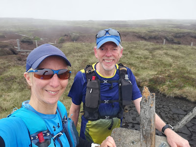
By the time we reached the summit the cloud was descending and, with the breeze, we had cooled down considerably. Notwithstanding the incoming weather, we didn’t take the short and easy option of retracing our steps, but stuck with the plan of forming a circuit, with the return leg being longer than the outward one. Whilst longer, it turned out to be easier than expected, thanks to the extensive network of tracks (an excessive network, some may say) that has been extended beyond those shown on my 10-year-old map, such that none of the expected yomping came to pass.
With a little diversion to have a look at a lunch hut (Mick dipped his foot in the water whilst fording a burn on the way there, then we spotted the bridge a short way downstream), and after being passed repeatedly by the same chap on a quad bike (deploying bird scaring bangers at intervals) we joined the track down Glen Esk that we have walked a few times before. Not far along there we rejoined our outward route for the final trot back to Bertie. A light rain started to fall on us with a couple of hundred metres to go, making me think again that we would have had appreciably better weather if we had set out just half an hour earlier. Whilst in my state of cumulative sleep deprivation I wouldn’t have wanted to have got up any earlier, I’m sure we could have been more efficient in getting out the door once we reached Glen Esk (a time we filled with gear faffing, getting changed, preparing food and drinking cups of tea).
Green = recorded route; red = plotted route.The straight line bits of my plotted route are where my 10-year old maps don't show there to be any tracks, but it turns out there wasn't much variance between my plotted route and the tracks that now exist.
(3:20)


No comments:
Post a Comment