We've been in Silves for a few days now, and whilst there doesn't seem to be much by way of walking options around here, I did find a local circuit on wikiloc.com, so today we went to take a look at it.
It didn't start with promise, being on a wide dirt road with nothing much of interest around us. Fortunately, it improved greatly as it went on.
I'm not sure how much of the walk was within a nature reserve, but signs told us that thousands of trees had been planted. Given that there doesn't seem to be any other significant use for this type of arid land, it is something of a mystery to me why there are quite so many tracks criss-crossing the land. Thank goodness for electronic navigation tools, otherwise huge concentration would have been needed to keep on the right line! Here's just a small snippet of the map, by way of illustration:
Here are a few snaps:
A watering hole in the planted area:
Looking back from the same spot:
This is the first time, whilst walking in the Porguguese countryside, that we have come across a bench (contrast with Germany, where we were almost tripping over them at every turn, and Spain which is very partial to picnic areas in obscure locations). It was the bench beside the track that we saw first, before the full picnic area below came into view. It was just a shame that today was the one occasion that we went out with neither a flask of coffee nor a snackette. There didn't seem much point on such a short walk when there was no chance of there being a convenient bench...
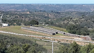
I think this one illustrates quite how barren the landscape can be around here:
The sun was in the wrong place for the photo, but as we started to descent back towards Silves, we rounded a bend to see a windmill ahead of us. The track leading up there was incredibly steep!
A bit closer to (and using the HDR camera function to counteract the sun being in the wrong place):
The air has been a bit smoky and hazy this week, which robbed us of a good view of the large castle at Silves (we visited it yesterday - more of which here):
It was around 5.5 miles with around 600' of ascent.


