23 April
Allt Loch an Duin to Luibleathann via A’Chaoirnich
Distance and ascent: 27.5km, 630m
Weather: Frosty night, glorious start, becoming
overcast then rain for 5 hours of afternoon.
It was a clear-skied night and thus a cold one, but I had
taken my long, warmer Thermarest this time, and I took the precaution of
donning two pairs of socks before bed, so I was warm enough. I even had warm
feet until around 4am.
During my wakeful periods in the night I’d pondered my
morning plan. Would I leave the tent pitched and attack A’Chaoirnich via it’s W
flank, or would I de-pitch, walk 2.5k up the glen, re-pitch (so as to leave
stuff I didn’t need on the hill in the tent, and to let the tent dry out) and
use the slightly less vertical NE approach? After churning over the issue many,
many times, I resolved on leaving the tent where it was and walking the extra
out-and-back distance.
When I emerged from my sleeping bag at 5am, I measured the
distances involved and reversed my decision – no point walking an extra 2km
when I would be all-but passing the NE approach anyway.
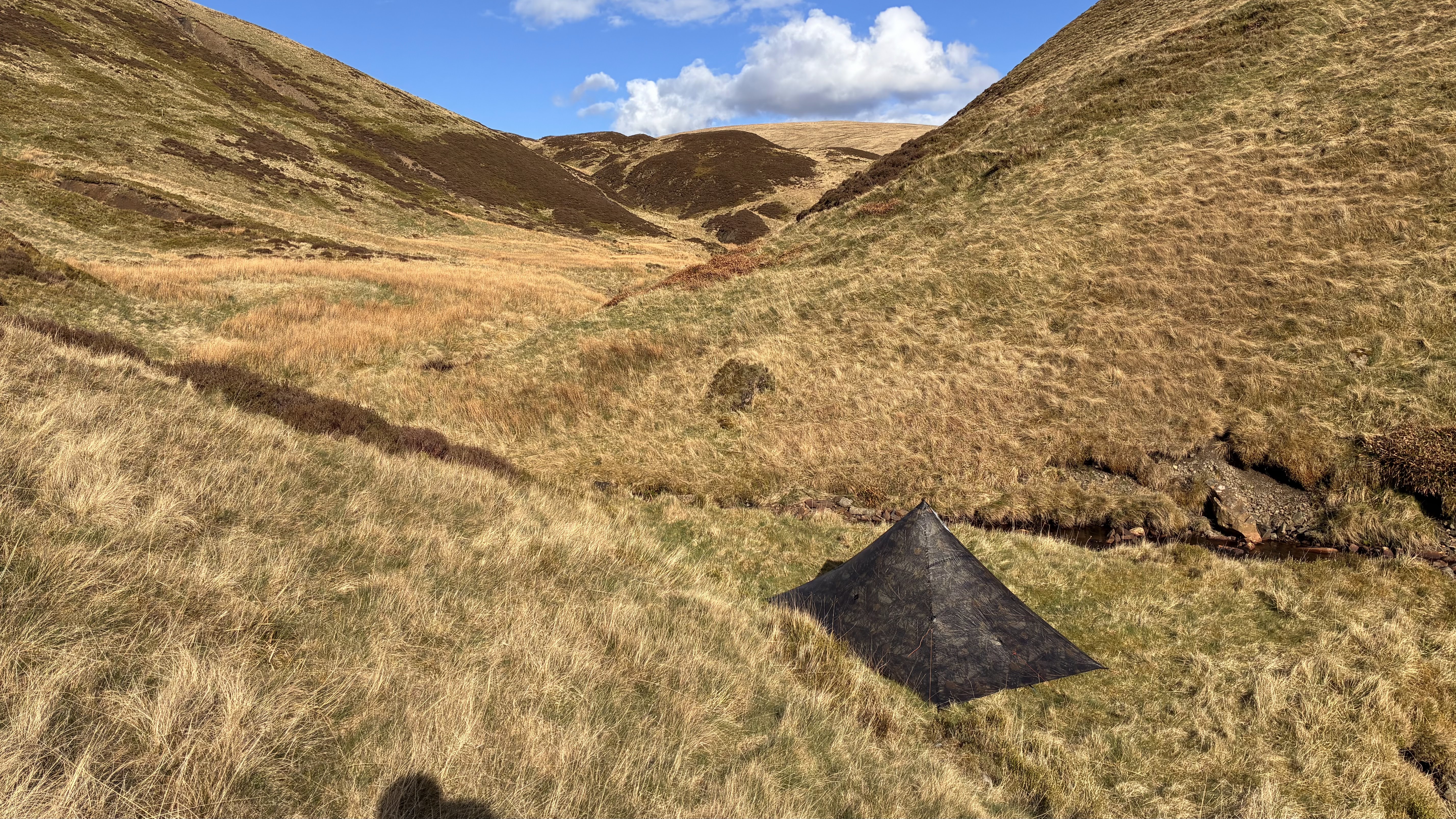
Frosty glen
Tent re-pitched
Sun eradicating the frost as soon as it meets it
The NE approach to this hill may have been friendlier than
the W, but it was still awfully steep in the upper reaches, where (as with An
Dun the previous afternoon) the map makers had been unable to fit in enough
contour lines. It was as I toiled up there (it involved a 50 minute kilometre!
Although, I suppose I did have a couple of prolonged layer faffs) that I
contemplated that it would be a real shame not to do my intended high route on
such a gloriously sunny day, but as I had a head cold and was tired, an
easier day would probably be the more sensible option.
Thus from the summit…
Obligatory selfie
…I sent Mick news of my revised plan (once I’d hatched said
revised plan).
Intended route in green; revised route in red
Back down at the tent, what I really wanted to do was to
crawl in and have a kip, but given the purposes for which I’d pitched it (to be
a shed, and to dry the fabric) it wasn’t on ground suitable for sleeping
(lumpity bumpity). That was a shame, as the sun hadn’t long reached it and it
hadn’t yet dried out, and sleeping would have been an efficient way of waiting
for the sun to do its work. Instead, I sat on a nearby rock, had a snack,
changed my socks (I no longer wanted the waterproof ones in which I’d tackled
the boggy hillside; isn’t it incredible how bogs can cling to such steep ground
in Scotland?) and filtered some water. Finally I took the tent back down,
wondered if I’d accidentally picked up a few river rocks, given how my pack
seemed so much heavier than earlier, even though the tent was now dry, and set
off along the glen.
Last time I walked this glen, last October, it was in a
storm, in the dark. It was far nicer today to see my surroundings. It was also
easy to cross the Allt Gharbh Ghaig without getting anything but the soles of
my shoes wet, unlike last time when it overtopped my waterproof socks.
There was something going on in the vicinity of Gaick Lodge,
and when a security chap stopped me with a warning to expect traffic on the track,
I asked what was happening. Preparing for filming next week was his answer, and
I didn’t enquire any further, assuming that it was some TV programme. There
was, however, an incredible amount of infrastructure, new quarries had appeared
and great stretches of the track had been resurfaced. Various vehicles passed
me (the security chap had told me everyone had been instructed to drive slowly
and, with the exception of one estate vehicle, so they all did as they passed
me. However, they certainly weren’t abiding by the speed instructions as they
approached!). Maybe I could have availed myself of the lunch truck, had I been a
little behind myself. It was only when two Warner Bros ‘Lighting and Rigs’ HGVs
trundled past that I discerned that this wasn’t something like Country File,
but a more major production. (Okay, curiosity finally got the better of me and
I just Googled it. Apparently it’s the new HBO Harry Potter series)
As much as I enjoyed the glen, I was really flagging by the
time I reached the end of Loch an t-Seilich, but I resolved to make it the
extra 4km to Bhran Cottage for lunch. Before I sat down, I took a couple of
little detours to see whether the bridges there are still missing and a kind
estate worker (not the one who had sped past me earlier, kicking up dust in my
path!) stopped an offered me a lift across the water. I thanked him kindly, but
despite giving all indications that I wanted to cross by poking around on the river bank, that wasn’t where I needed to cross.
There’s some lovely cropped grass next to and behind Bhran
Cottage (and currently a full-sized articulated lorry, laden with filmset
gubbins parked in front), and I would have been sorely tempted to cut short and
pitch there for the night, had it not been for not having a phone signal to let
Mick know (there’s usually a signal there, but nothing today). Having told him he would hear from me later, I assumed
that if he didn’t, he would think some
nasty accident had befallen me (as I would, had our positions been reversed).
He now assures me that he would have just assumed I’d stopped short and not had
a signal.
I only had a kilometre more to cover of the glen track
before I was to ford the river and head across country. Reaching my fording
point, my first reaction was “I’m not crossing that!”. Even though, barring one
rainy night last week, it’s been a dry spring thus far, the River Tromie is not
an insignificant obstacle. After a few moments of contemplating my route
options, I explored the river bank a little further upstream and decided I
could ford after all. I thought about taking my socks off, but with nowhere
(other than potentially tick infested grass) to sit, I decided to just plough
on through as I was. The water came up to knee high, but there was only a short
section where there was a significant flow.
Once on the far bank, there ensued 3km of the roughest and
wettest sorts of terrain, with no animal trods to ease my progress. To add
insult, it started to rain on that section, and contrary to the weather
forecast of occasional showers, it continued for the next five hours. Light for
quite a while, I was finally forced into my waterproof trousers as I descended
the track towards the Military Road.
I found another good looking pitch down there, but still
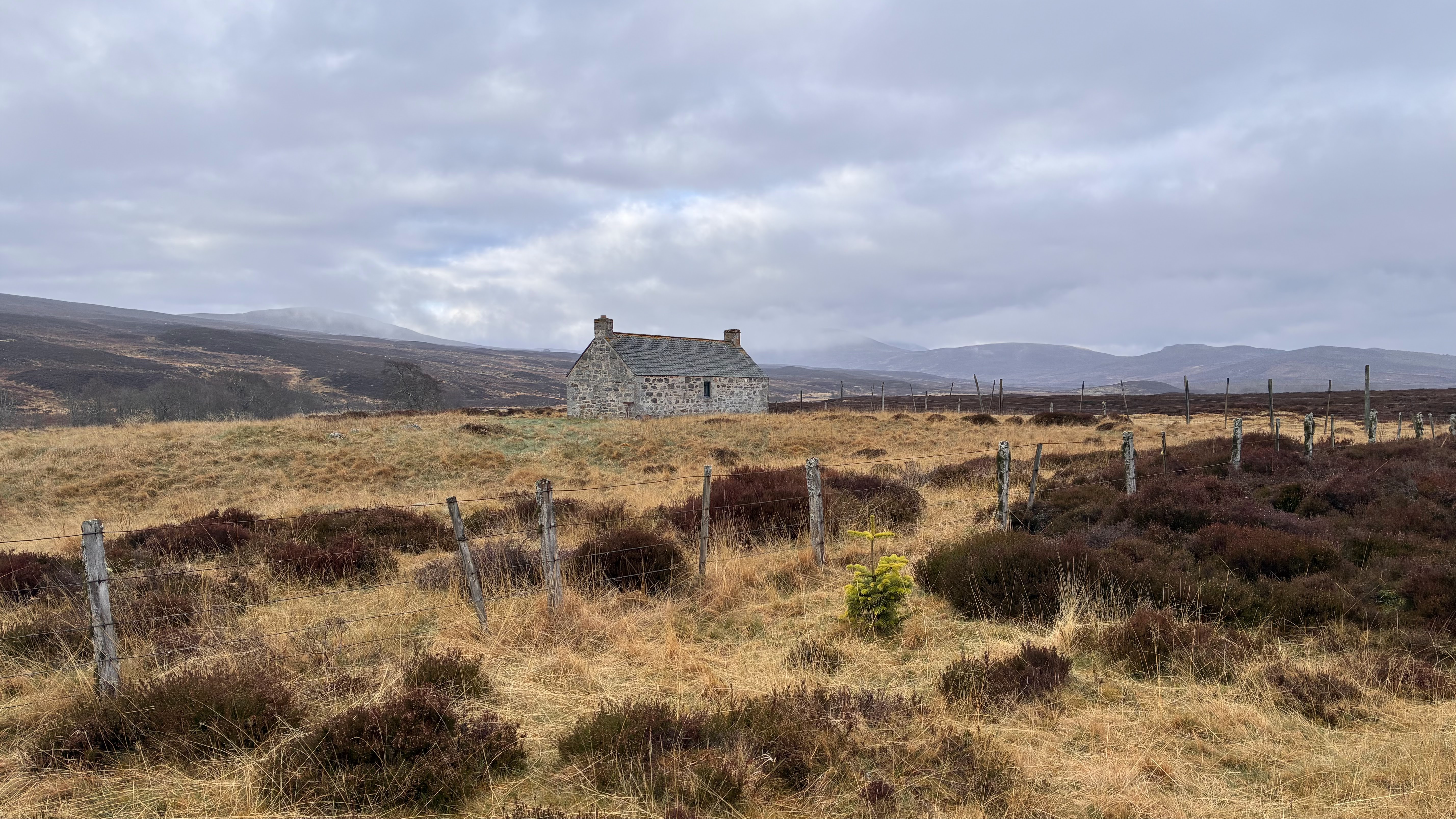
having no phone signal, I pressed on, reaching my destination at 1600. With a
0630 start, and a couple of hard-going sections, it had been a long day.
A welcome sight (snap taken the next morning, when it was
dry)
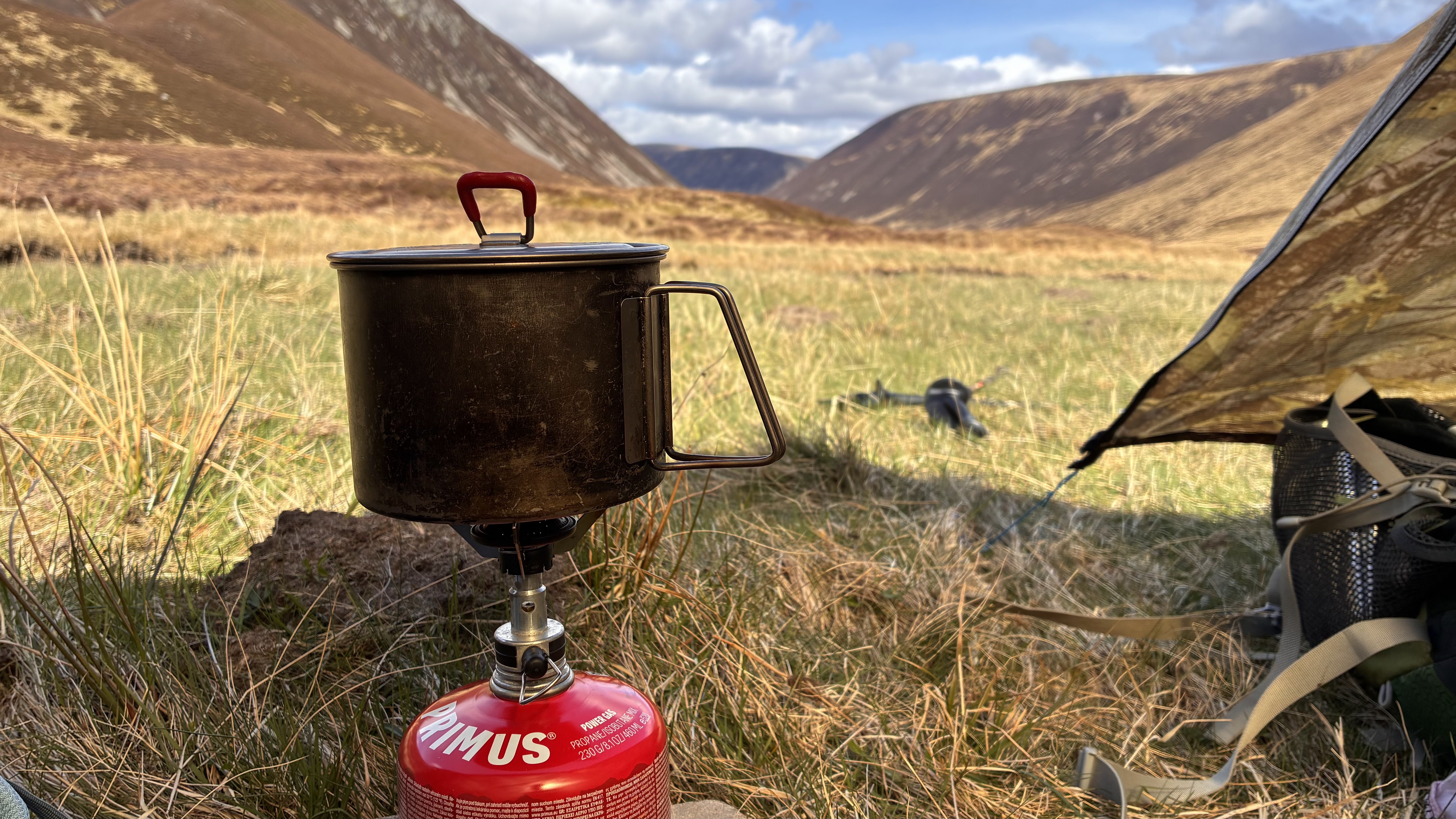
Spot the tentI ate and drank inside, gave up on waiting for the rain to
stop, and pitched the tent outside, taking with me a book from the extensive
(for such a location) library. Thus I spent the rest of the evening snuggled in
my sleeping bag, reading. I managed sixty pages before I declared ‘lights out’
(which is to say, I pulled my hat down over my eyes).