The Road goes ever on and on; Down from the door where it began;
Now far ahead the Road has gone; And I must follow, if I can;
Pursuing it with eager feet; Until it joins some larger way;
Where many paths and errands met; And whither then? I cannot say.

[JRR Tolkien, Lord of the Rings]

Wednesday 24 July 2013

Saturday 20 July: Holwick Scars to Appleby

Looking at the photos we took, this day was dominated by High Cup Nick, which is funny in that it wasn’t on our intended route!

The day had started even earlier than is our norm. The 5am alarm was to achieve the dual purpose of giving us the relative cool of the early morning for our big climb of the day, and to make sure we reached Appleby in time for an afternoon train. As it happened, we didn’t need the early start for the purposes of heat avoidance. There had been a change in the weather overnight, and we awoke to find ourselves in a heavily-mizzling cloud (pity I had left my porch door tied back – there was something of a dampness where the mizzle had come through the mesh).

IMG_5504

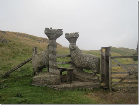
I can’t think of seeing a more impressive stile before! We came upon this one just below Holwick Scars.

The cloud had lifted by the time we had climbed up Cronkley Fell, and there was promise that the sun may yet burst through. False promise, as it turned out, but it didn’t detract from how nice our surroundings were and we were thankful that we weren’t baking in the heat of the previous days.

Any number of good potential pitches were spotted as we approached and went over Cronkley Fell, but considering that we were passed by three farmers on quad bikes before 7am, I would recommend an early start if wild-camping in the area.

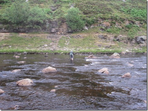
Down the other side of the fell, we reached the Tees and had two options: to cross to rejoin the Pennine Way, or to stay on the south bank. We opted to cross, and choosing to do so at a wide point, the water didn’t come above our knees:

IMG_3004

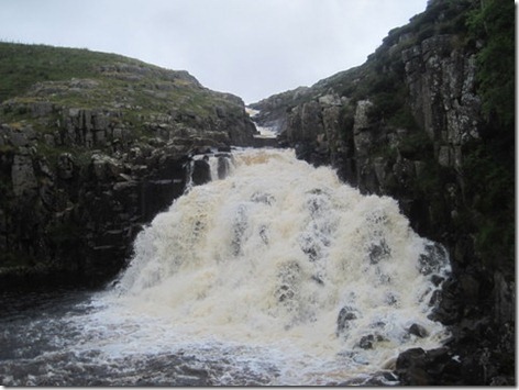
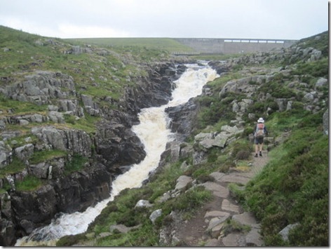
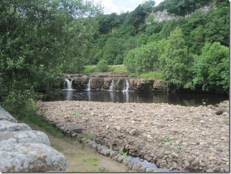
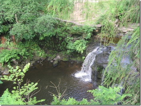
Having crossed the river and rejoined the Pennine Way, past Cauldron Snout we went. Thanks to being fed by the reservoir, it wasn’t suffering from the lack of water we had witnessed everywhere else:

IMG_5516

The lower section of Cauldron Snout

IMG_5517

And the upper section

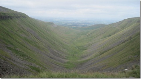
Not long after Cauldron Snout we were due to leave the Pennine Way again to head down Scordale, but on the spur of the moment decided to go to High Cup Nick and see if the right of way that descends down its centre really exists as a feasible path.

Provided that the weather is providing a bit of visibility, High Cup Nick is always worth a visit, and once Mick had scouted out the start of the path down, we sat overlooking it for a while, soon joined by another backpacker who was heading south. He was the second person we had seen out walking since I had set out from Ribblehead on Wednesday (this was Saturday late morning).

IMG_5519

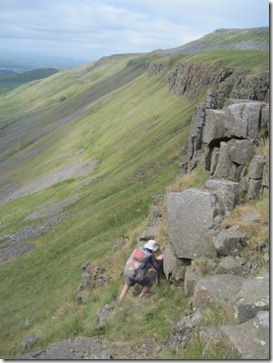
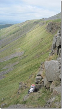
After a bit of a chat, and having frittered away some more time (we had four hours left to walk the last six miles) off down the ridiculously-steep path we headed. It starts with a bit of a mild scramble:

IMG_5520

IMG_5521

The scrambly bit didn’t strike me as being as precarious as the next grassy bit. If you took a tumble there you’d tumble quite a way. There are, however, steps worn into the grass, and with the ground being so dry, it was easy to stay on our feet as we made our way down to less-steep ground. Looking back, it doesn’t look at all a feasible route:

IMG_3005

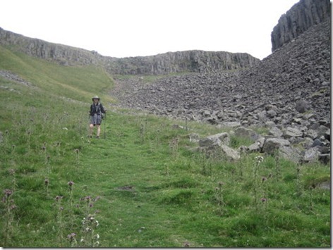
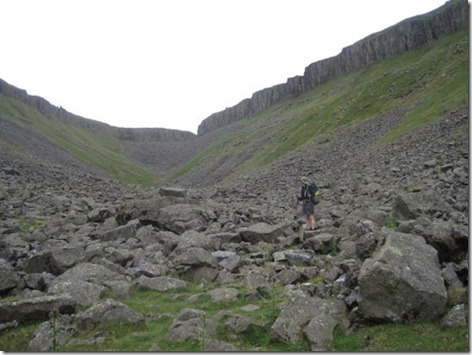
The next obstacle course is a boulder field, which is made more interesting by the number of nettles and thistles growing tall between the boulders. We ran the gauntlet and came out with all bones intact and our legs prickle and nettle-rash free.

IMG_3006

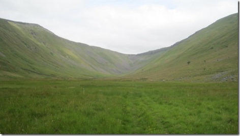
Continuing the time-killing, we took advantage of a brief period of sun which coincided with us coming alongside the beck, to sit down for a cooked lunch. The surroundings were about as good as you can get for a lunch break.

IMG_5525

With the sun having gone away again, the breeze having picked up and lunch having been eaten, off we went, soon warming back up as we climbed over the shoulder of the far end of Middle Tongue, to make our way via tracks and lanes to Appleby.

Thanks to the breaks we had taken we timed our arrival reasonably well with just half an hour to wait for a train back south.

Our stats for the final day were 18 miles walked with 2600’ of ascent, in pleasantly cool walking weather.

It had been a splendid outing. Every time I set foot on the Pennine Way I’m taken with how nice it is, and the alternative routes we took on this outing were equally pleasing. Even when I was flagging, slogging up hill in the heat, I could appreciated that it was a far better place to be than in an office.

Incidentally, I bought Mick a return ticket from Appleby, so he’s got thirty days to go back to continue his way northwards.
Tuesday 23 July 2013

Friday 19 July: Tan Hill Inn to Holwick Scars

My annoyance at the chatting men the previous night turned to amusement as I left the tent early on Friday morning. It had been completely dark when they had pitched (although they did have head-torches), but even so the angle at which their tent was sitting had me burst out laughing:

IMG_5486

Wall-to-wall sunshine was again the order of the day (look at the colour of that sky below!) and again it was hot even at 7am, as we set out across Sleightholme Moor.

IMG_2995

The last time we crossed Sleighholme Moor, in June 2011, it was laughably wet, such that we gave up any pretence of trying to avoid the worst spots and just waded on through. This year, the only problem we were having with water was finding it, and we crossed this famously-soggy moor completely dry-shod.

By the time we stopped for second breakfast at God’s Bridge, just before we passed under the A66, I was doubting my ability to put in another long day in such hot weather. I’m far more accustomed, at the moment, to sitting behind a desk in a refrigerated office than I am to putting in back-to-back 20 mile days in extraordinarily hot weather. I reminded myself that there have been plenty of times before when the morning has seen me thinking “I can’t” when the reality is that I can, so I focussed on that thought as we headed up over Conistone Moor. With the first ten miles of the day being on open moorland, only broken by the A66 and with few farms to be seen, I had to marvel again at how big and empty this area is. A very pleasing place to be on a fine day!

With 11 miles walked by 11am, there was absolutely no rush and so the breaks started coming quick and fast.

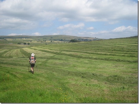
A huge tree and a pleasing wind saw us take a prolonged elevenses break, and just two miles later we stopped at a picnic area beside a reservoir for lunch (although, with none of the tables being shaded, we opted to sit on the grass under a tree). In between elevenses and lunch we witnessed, not for the first time, the great industry of the farmers in this fine spell, turning their meadows into winter feed stores. In the field shown below the line of the path was obvious, although we did have to step over some sizeable mounds of grass. In other fields the grass hadn’t yet been collected into rows, thus obliterating the path, and following the correct line took a bit more guess work.

IMG_5494

Our next stop came just a mile later, when we saw a lady out in her garden and took the opportunity to beg some water. She gave us directions to her outside tap and told us to help ourselves to her gloriously cool, fresh water (good timing as I only had about two sips of the tepid, plasticky water left in my bottle by then).

It wasn’t more than a half a kilometre later that we left the Pennine Way. I would certainly recommend the route of the Way as it passes Middleton-in-Teesdale and heads up the riverside, past Low Force and High Force. I particularly like the river Tees and those are fine features. However, we’ve been that way twice before and with a need to reach Appleby by Sunday morning at the latest, we needed to cut out a few miles, so I had planned a shorter route over Lune Moor to Holwick Scars. It was lovely! Firstly on a track, then on a path across the open moor, it may not have had the impressive features of the riverside, but it boasted excellent views and was a great open space. It also featured what we dubbed ‘five star shooting butts’, but unfortunately I didn’t take a close-up photo and in the only snap I have you can only just make out what they are, so you can’t see how substantial and well-built they are.

IMG_5495

We nearly ended our day at Rowton Beck, which supplied some very clear water, but there hadn’t been sufficient grazing in the area to give a bowling-green pitch, or anything approaching lump-free, so we continued on a while, until a fine pitch was found. It was a pitch with good views in every direction.

IMG_2999IMG_3001

My only complaint was that there was no shade, and even with a keen breeze, it was almost unbearably hot until about 7.30pm.

The stats for the day were 17.75 miles walked with 2100’ of up.

Monday 22 July 2013

Thursday 18 July: Gayle Wolds to Tan Hill Inn

Thursday dawned a bit cloudy, much to our relief, but by the time we were away walking (just before a quarter past seven) the clouds were clearing and it was already decidedly warm, with promise of reaching ‘baking’ later. With the NHS having issued warnings on Wednesday for people to stay indoors and not even think about putting a toe over the threshold whilst this hot weather persists, I did question our sanity in venturing for miles up hill and down dale, whilst carrying full packs.

What a contrast to the first time we walked this section of the Way, when we didn’t see a thing all the way over to Hawes. This time, we marvelled at the views down to Widdale and time flew such that before we knew it we had covered the first six and a half miles of the day and were heading down into Hawes just in time for second breakfast.

The Chemist supplied us with more suncream to top up Mick’s dwindling supply and the grocer supplied us with a sausage roll and a punnet of local strawberries, but we didn’t buy any water as I knew that there was a water tap behind the public toilets, just outside of town.

Alas, it transpires that the tap has now been declared ‘not drinking water’ and as it didn’t appear to be mains pressure we thought we’d better not risk it and would have resigned ourselves to one of us nipping back into town for some bottles of water if we hadn’t (for once) benefited from my prolonged faffing. By the time I had finished faffing (by which time Mick was seated on a bench some distance away, tucking into the strawberries), the museum opposite the toilets had opened and they were happy to show me to their kitchen to fill my bottles.

With strawberries eaten (it was a big punnet and we made short work of them) our stay in town had been longer than I had expected, the day was hot and I was very aware of the climb we had ahead of us. It was sweaty work heading up Great Shunner Fell (which summits at just over 2300’), but for the most part we had a nice breeze.

IMG_5479

Coming off the other side of Great Shunner Fell the Way skirts away eastwards to go around a little hill called Kidson. It’s a very lovely walk, with views over the meadows-and-stone-barns which typify this area, but I have walked that way three times before so didn’t feel obligated to go that way again. Instead, we took a bit of a yomp to the north off the shoulder of the fell, heading down to a shooting hut from where a (unmapped, but perfectly clear on aerial photos) track took us down to Keld whilst cutting 2 miles off the route.

That route took us past a gorgeous swimming hole (complete with a man swimming) and for the second week in a row I rued not having my swimmers with me.

IMG_5481

A long stop in Keld refreshed us and cooled us down no end. As we bought ice lollies and pop, we enquired about using the campsite showers (the tea-room and the campsite being part of the same establishment), whilst explaining that we weren’t going to be staying the night. The owner seemed rather thrown by our request and I fancy that the reason for her hesitation was because she couldn’t decide how much it was reasonable to charge for a shower. Finally she told us to help ourselves and to put some money in the honesty box in the car park.

By the time we left the tiny village at 4pm we were sparkling clean (for about five minutes, at least!) and had just four miles to walk over to the Tan Hill Inn, which is where Mick wanted to spend the night (my vote was for a wild camp about a mile short, but it was Mick’s walk, so he got to choose). Thanks to the shower in Keld, I didn’t feel any compulsion to jump into this pool:

IMG_5482

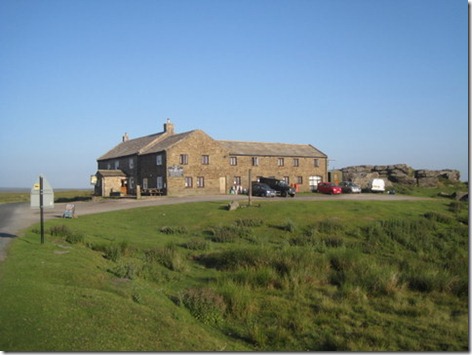
Arriving at the Inn at a quarter to six, an hour or so was spent chatting with a trio of cyclists (John, Christine and Michael), who were questioning their own sanity at cycling over roads where the tar was melting and sticking to their tyres, on a day when in direct sunlight a temperature of 42 degrees had been measured. Still, we all lived to tell the tale, even if more than just me was feeling that it had been Jolly Hard Work!

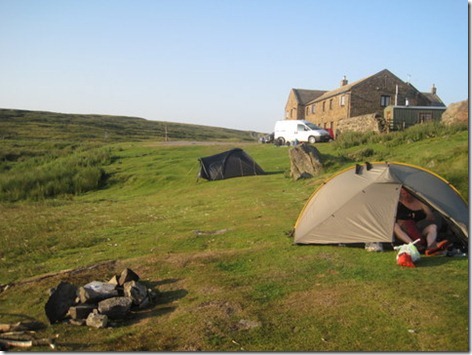
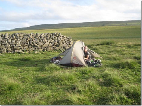
Eventually, we finished our cold pop and dragged ourselves away to pitch a tent:

IMG_5483

As the sun went down we were the only tent there, and it was promising to be a peaceful night:

IMG_5484

It remained peaceful until 11pm when two chaps in a van pulled into the car park and proceeded to have a good long chat, which woke us both up. After about twenty minutes they must have noticed our tent as one of them exclaimed “Are you allowed to camp here?”. I guess they had been intended to spend the night in the back of the van, but having seen our tent they proceeded to pitch their own. By midnight, peace had been restored and I got on with the important business of sleeping.

The stats for the day were 22 miles walked with 3600’ of ascent.

Sunday 21 July 2013

Wednesday 17 July: Ribblehead to Gayle Wolds

A couple of years ago we were discovered to be walking across Scotland with three Thermarests between us. This week we went one better by being out with an excess of tents.

When Mick had been packing his bag last Sunday night, he was just shoving Rita Rainbow into his side pocket when I stopped him and pointed out that, as there was no chance of me being able to join him this week, he may as well save a couple of hundred grams a some bulk by taking Connie Competition.

Little did I know that just 24 hours later my boss would, completely unsolicited, positively insist that I was to take Thursday off and to go and join Mick. The work would still be there waiting for me on Monday, she promised, and who was I to question such insistence?

Monday and Tuesday evenings were a little frantic in sorting out how and where I would meet Mick, printing more maps, buying food and cooking and dehydrating even more rations, not to mention the mundane household chores and the watering of the vegetables. Wednesday was equally hectic, with 7 hours of work being followed by 7 hours of travel before before my walk even began.

Setting out from Ribblehead at 7.30pm (happily, an hour and a half earlier than I expected), the first mile and a half were along the B-road, complete with many a speeding motorbike. You can just about make out the track I was to take, in heading uphill on the right hand side of this snap, and on the left of the road is a ‘wild camper’ in a rather large family tent:

IMG_5468

Leaving the road to follow the Dales Way up to Cam Pastures, I hadn’t got very far when I spotted some barriers across the path and then saw the dreaded sign:

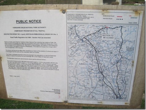
IMG_5471

For amusement value, I read the closure notice. The closed part of the footpath extended for about 100 metres. The diversion that had been put in place was 14km long! Really?! In what world was the Rights of Way Officer, or whoever approves these things, living?

IMG_5472

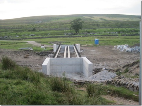
There was no chance of me ignoring the closure and continuing up the path, as there was quite an obstacle, in the shape of a new bridge which is under construction:

IMG_5474

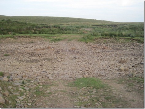
I resolved instead to cross the river about 20 yards downstream, where there was an obvious vehicle ford. When I got there, I found I didn’t even need to get my feet wet. Dry stream beds became a bit of a theme of this trip:

IMG_5473

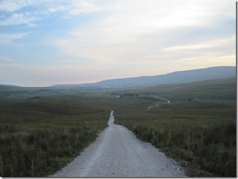
With that excitement over, the rest of my walk was perfectly uneventful, and very pleasant in the cool of the evening. The walk was exclusively ‘up’, but on such a good track it was fast and easy:

IMG_5475

If Mick hadn’t found a phone signal, then our plan to rendezvous would have come unstuck (and I would have had fun pitching my tent, as I had decided that I didn’t need to take any pegs), particularly as Mick had been unable to find a good and discreet pitch at the grid reference I had suggested, so had continued another mile and a bit uphill before heading off the track. There was no way I would have found him without any clue as to where he was located, but the phone signal had allowed him to let me know the revised grid reference. As it turned out, I didn’t have to navigate. He kept a lookout, saw me coming and walked down to the Pennine Way to meet me (and I resisted handing him my pack to carry up the last bit of hill, even though I’d lugged a full resupply for Mick, as well as my own supplies, up that hill – gosh that pack felt heavy!).

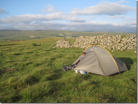
It was a good pitch he had found (if you take into account the Neo Airs are very forgiving of bumpy ground!) with a stunning view, and with the hour having passed 9pm by the time I got there he wasted no time in unpitching Connie…

IMG_5476

…so that we could pitch Rita:

IMG_5477

After a bit of a catch-up on the notable points of our respective weeks, bedtime was declared, with an early start planned for Thursday, so as to get ahead of the heat of the day.

My stats for Wednesday were 4.1 miles with 1000’ of up.

Monday 15 to Wednesday 17 July: From Hebden Bridge to Gayle Wolds

It felt to Mick like he had barely walked through the front door a week last Friday, after his few days on the Pennine Way, before I told him that I was sending him back out again. The weather forecast was still so good (albeit perhaps a little warm for backpacking) that I couldn’t bear the thought of him languishing at home whilst I was at work. So, I booked him a train ticket for early Monday morning, printed him some maps and some meals were quickly cooked and dehydrated, then he was off.

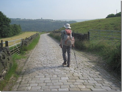
His train journey ran far more smoothly than last week’s, and at 11am he walked out of Hebden Bridge station to pick up the Pennine Way, opting to get there via Hardcastle Crags (so it’s a good job we omitted it in last Friday’s walk as twice in four days may have been excessive repetition).

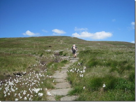
Not long later the Pennine way heads up towards Top Withins, where it seems flagstones are soon to form the surface of the Pennine Way:IMG_2965

We first walked the Pennine Way was in 2008, so not very long ago, and each time we venture back out onto the route we find yet more of it has either been flagged, or is about to be. Whilst I don’t doubt the necessity of giving it such a surface in some places, it is starting to feel to me like one day there will be a paved surface the whole way from Edale to Kirk Yetholm. Or perhaps I’m just turning into a grumpy old woman…

Anyways, across t’moors Mick went, roasting in the heat-wave and thankful when clouds obscured the sun:

IMG_2967

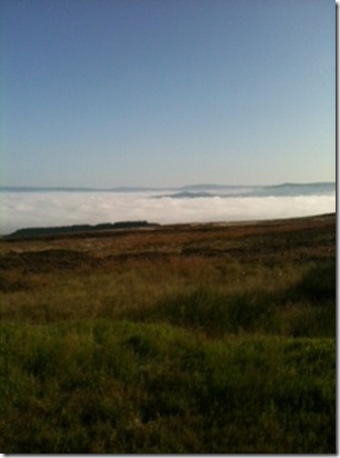
Tuesday’s early start gave Mick a treat, as not only did he get a head start on the heat of the day, but he was also treated, as he ascended Pinhaw, to a cloud inversion. He was so taken by it that he took a 360 video snippet from Pinhaw:

Soon all hint of clouds had burnt off, which gave gorgeous skies, but temperatures which were arguably excessive for walking:

IMG_2974

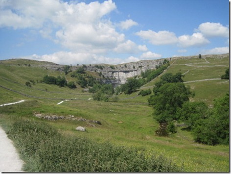
With temperatures so high, every opportunity for a cup of tea or lime-and-soda was taken, including a break in Malham before that pull up to the top of the cove. Once at the cove, Mick didn’t disappoint, by taking the obligatory photo:

IMG_2976

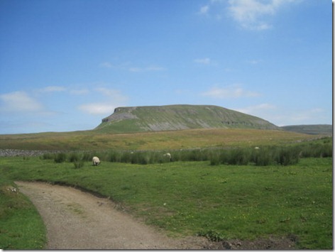
And, of course, no trip up the Pennine Way would be complete without a picture of Pen y Ghent too:

IMG_2984

Down in Horton, Mick found himself with some hours to kill, so some rehydrating was done, with two pints of tea in the cafe and two pints of lime and soda in the pub at the north end of the village. From Mick’s description of that pub, and its many signs giving instructions as to boots, backpacks, not drying clothes and not washing in their toilets, not to mention their general ban on filling up walkers’ water bottles (even when said walkers have spent £5 on a couple of glasses of pop), you have to wonder whether the publicans would be better suited to running an establishment where their life-blood of clientelle are not the very people who annoy them. Maybe a city centre would be more their thing?

With four pints of water in his body and five litres in his pack, he set off mid-afternoon for his final few miles of the day, hoping as he went that he would get a mobile phone signal somewhere around where he found a pitch, as he had an important text message to send …

… to be continued

(Mick’s stats for the week so far:

Monday: Hebden to Lothersdale – 18.25 miles; 3500’

Tuesday: Lothersdale to beyond Malham Tarn – 20.5 miles; 3500’

Wednesday: beyond Malham Tarn to Gayle Wolds – 16.1 miles; 3100’)

Tuesday 16 July 2013

Mick’s Morning View

This morning my view was of a grotty windowless office.

Mick’s view was a little more pleasing.

It was mid-morning when I received an email containing nothing but the subject ‘Inversion – taken this morning’ and this photo:

Inversion

He sent me the tiniest size of file. Hopefully he’s got a better snap on the camera.

He must have taken it from somewhere above Lothersdale.

I think that if we were having a ‘who has got the best view this morning?’ competition then he would have won hands down!

Saturday 13 July 2013

From Hebden to Halifax

Thursday night was a late one by my standards. Having not arrived at Mick’s pitch until 8pm, we didn’t eat tea until nearly 9 and by the time pudding and cups of tea were had it was past my bedtime. Apparently, for midges, it was just about time to come out and party. Without any hint of a breeze, we were besieged by the little blighters, meaning that teeth-cleaning was accompanied by pacing and a face-slapping dance.

After a good night’s sleep, daylight first woke me at quarter past five. Peering, bleary-eyed, through the mesh side of the tent, the red orb of the morning sun had just cleared the hillside opposite. A fine sight, but I cursed that I had left my buff buried in my pack, and thus didn’t have a blind-fold to hand, before improvising by throwing my fleece over my head. The next thing I knew it was 7am.

The midges had retreated to bed after their late night feast and party, so packing away was a relaxed affair before we headed off, down to Hebden Bridge. The sky was looking pretty fine as we looked over towards Stoodley Pike, although it was all rather hazy in the other direction.

IMG_2957

There are dozens of rights of way which lead down to Hebden and we picked a route which would take us via the Co-op. The day, which was forecast to reach 27 degrees, was already hot and I was hankering after some orange juice, as well as needing to pick up some water.

The route we chose involved a lane, but not of your common tarmac variety. It wasn’t quite as interesting a surface as the one I’d walked out of Hebden on Thursday, but I didn’t pause to photograph that one.

IMG_2959

For some reason (I can only plead insanity) I only picked up two litres of water and one litre of orange juice between us, as we passed through Hebden Bridge. What calculation could I possibly have made which told me that on a day that hot, with that much ascent, we could make do with one litre of water each?! The orange juice didn’t even make it away from the shop.

I’d originally intended for us to leave Hebden via Hardcastle Crags before cutting over to the next valley across, Crimsworth Dean. Given the temperature and the fact that we’re not unfamiliar with Hardcastle Crags, we soon modified that plan to reduce the distance and cut of some ascent by heading straight up Crimsworth Dean instead. I knew that, at the point where we were to leave the valley, there is a swimming hole below the waterfall and I was contemplating cooling down in it.

IMG_2961

I wasn’t the first person of the day to have that thought; as we arrived a couple were just drying off an getting changed. Without any swimmers with me, that put paid to my plan of a quick skinny dip! I made do with dipping my hat in the water and a pause in the glorious shade for second breakfast.

IMG_2962

The problem with walking east to west in this area is the number of steep-sided valleys you have to cross!

After a pull up out of that valley, our high point of the day was our next objective: the trig point atop High Brown Knoll (which isn’t particularly high, isn’t brown and isn’t very knoll-like). The pull up there was the first hint that I was going to find this day harder than I’d anticipated, but once the height had been gained it was absolutely lovely, walking on an easy path across the moorland with a very satisfying breeze cooling us. Happily, the day was still hazy and thus the full heat of the sun wasn’t on us.

What goes up must come down, and our descent down into Luddenden Dean (don’t ask me to pronounce that – Mick laughs at every attempt I make; apparently I always get the emphasis wrong) was truly brutal.

I wasn’t looking forward to our climb back up the other side, but a stop for lunch (whereupon the breeze immediately disappeared and the midges re-appeared) and a slight re-routing limited the brutality of that ascent. It was as we huffed and puffed up there that we passed two chaps who were the only other people we saw out walking all day. We were also the only people they had seen and we all agreed it was because most people had the sense to be sitting quietly in their back gardens with a cold drink.

Talking of a cold drink, I was feeling quite dehydrated by this time and, for me, the day was definitely going into the category of ‘very hard work!’. I didn’t actually run out of water until we were a mile away from our destination, and Mick couldn’t share as he ran out at the exact same time. We focussed on the fact that we were under a mile away from a shop which sells ice cold pop.

The cold pop was glorious, particularly as the sun had finally burnt through the haze. I’ve no idea at what temperature the day peaked, but as we set off for home at 7.30pm the car told us that it was 25 degrees out.

Whilst I did find the day very hard work, it was most definitely far preferable to being in a super-refrigerated windowless office. I don’t imagine many people have cause to take a linear walk from Hebden to Holmfield, but I’ve walked that way (on various routes) a few times now and the surroundings are to be recommended.

IMG_5466

What pasty-white legs! Notably, the first time I’ve ever been out overnight without taking a pair of trousers with me!

The stats for the day were 14 miles walked with 2500’ of (sometimes quite steep!) ascent.

Acting as Mick’s (Official) Biographer

By 3.15pm on Thursday afternoon I had won the race to finish my work in time to make my intended plan come to fruition, had thrown my backpack into the boot of the car and was just setting off northwards.
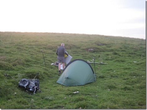
A little under five hours later, after two and a half hours of driving, a trip on a bus and another on a train, followed by a lung bursting walk out of Hebden Bridge station and up to Stoodley Pike, I was nearly at my intended night-stop.

I don’t think that I’ve ever spent a school-night wild camping before and I was pleased that it wasn’t even 8pm when I started walking along the edge of a patch of forestry looking for a good and discreet place to pitch.

The place was obvious when I got there. Leaving the public right of way, and nipping though a hole in a wall, I crossed one field and went through another hole in a wall. And what did I find there, but a lovely, bowling-green patch of short grass … with a tent already on it.

In other circumstances I might have wondered whether I should stop and say hello or just backtrack quietly pretending I hadn’t been there, but today the answer was obvious. As that tent was Rita Rainbow, and as the occupant was Mick, I presented myself at its door.
IMG_2956

If I’d taken this snap from 90 degrees further round, I would have captured both the tent and the view!

“I’m glad that’s you!” said Mick, with a hint of concern that a farmer may happen along who objected to us occupying the corner of a field of sheep for the night.

Mick was smelly and sun-kissed (i.e. lobsteresque in the places he’d missed with the sun cream) having walked there from Edale. His trip had first come into his mind on Monday morning when I set him two tasks for his day. The first was a short, mundane household chore. The second (to his surprise) was to pack his backpack, plan a route, sort out some food and go and spend the rest of the week taking advantage of summer, with the promise that I would come and pick him up from wherever he was on the weekend.

He picked the Pennine Way and set out on Tuesday lunchtime, although not without hitch when signalling problems caused his first train to arrive sufficiently late that he missed the Edale train by a couple of minutes, giving him two hours to wait in Sheffield until the next one. It was gone 5pm when he finally set out for the Kinder plateau.IMG_5425IMG_5429

Good rocks!

With the day being warm, he spent the night with the doors of the tent tied back, meaning that he got to see the flock of sheep which came to investigate him in the night, but more pleasingly, he also witnessed the mountain hare which started grazing just a few yards away from him in the morning. It took the hare a few moments to realise that there was someone in that grey object just over yonder, at which point it took fright, leapt in the air and hared off.

IMG_5432

Wednesday was forecast to be the coolest day of the week and it dawned grey, misty and cool:

IMG_5435

It didn’t take too long for some warmth to build, but the mist took a while longer to dissipate, not lifting until after he had cleared the navigational challenges of both Kinder and Bleaklow, but even when visibility was restored the sun remained stubbornly hidden behind low cloud.

Four D of E’ers (one of a number of groups he saw) had passed him as he dropped down to Old Woman. As they came within sight of each other in the mist, the strains of Jerusalem he had been hearing stopped. “You can carry on singing now” he said to the back-marker as he passed. It’s nice to encounter a jolly bunch of D of E’ers!

IMG_5443

Looking back towards Crowden from the approach to Laddow Rocks

Somewhere around Laddow Rocks had been the ear-marked night-stop, but it was far too early in the day to stop so onwards to Black Hill he went, neglecting to take a photo when he got there. At Black Hill he had a choice. The route I had printed for him had him taking the old route of the Pennine Way, but Mick had a breakfast bacon sandwich in his mind and the official PW route would take him past a snack-wagon on the A635. He found himself a pitch and some water in between Black Hill and the road and had himself an early finish, teeing himself up for that breakfast bap.

IMG_5446

Not a great pitch, said Mick. Two more miles would have seen him with a top-notch pitch but beyond the snack-wagon..

On Thursday the weather reverted to glorious sunniness and Mick took the bold decision to zip off his trouser legs. He duly applied his factor 50, but apparently didn’t give an adequate covering to the backs of his ankles and the backs of his knees.

It was a late start for him, as he didn’t want to be arrive at the road before the snack wagon, but even with the late start he was to be disappointed – no wagon! He carried on with just a muesli bar to satisfy him.

IMG_5450

Not a lot water in the reservoirs above Marsden

IMG_5452

Three times I’ve walked over Black Hill towards Marsden, but such have been the routes that I’ve chosen that never have I walked the bit of the Pennine Way in this photo!

The disappointment was redeemed later in the day, having passed over Standedge and White Hill he approached the M62 crossing to find that snack wagon not just present, but serving what he described as ‘the best bacon and egg bap I’ve ever had’. He continued towards the White House a happy chap.

The White House supplied him with a glass of pop and a re-fill of his water bladder before he continued on in the blazing sunshine past a few more reservoirs before Stoodley Pike hove into view for him.

IMG_5463

By then, I was on my way north and a quick chat when I stopped at some Services agreed that he would find a pitch beyond Stoodley Pike (giving me less of a walk to find him).

And so that’s how Thursday night in the corner of a sheep field came to be.

Mick’s stats to that point were:

Day 1: 5 miles, 1700’; Day 2: 17.5 miles, 3000’; Day 3: 20.5 miles, 2500’

I’d walked just 3.25 miles with a smidge under 1000’ of up.

I think that’s enough words for one post. I’ll write about Friday separately.