Thursday 7 July
Start point: Car park on minor road to the south.
Distance and Ascent: 14.2km, 400m
Weather: Gloriously sunny and warm
From the car park to the summit of Hutton Roof Crags is around 1.5km with 120m ascent, so this could have been a very quick out-and-back.
As it went, once I got to the top...
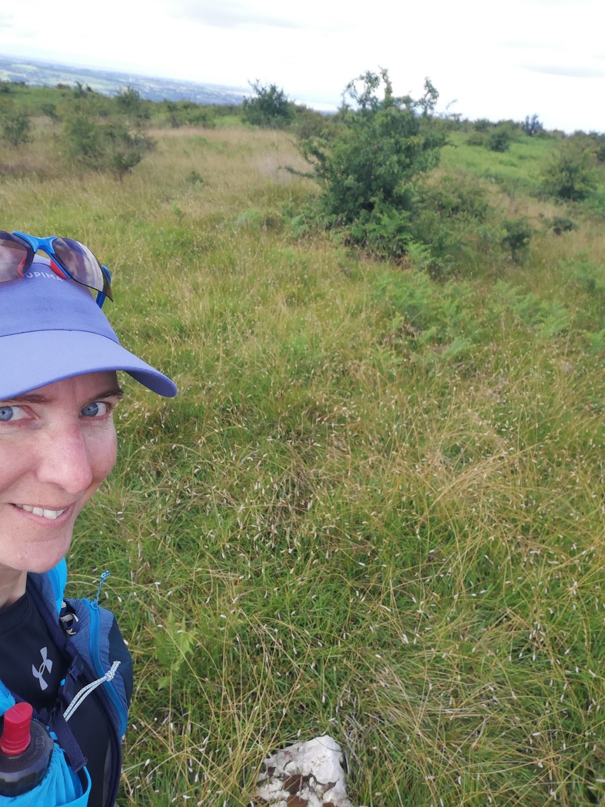
 Trig point (but not summit) selfie
 Summit selfie
...I paused to look at Open Cycle Map. Whereas the Ordnance Survey map only shows the Public Rights of Way (of which there are few, none going via the summit), OCM shows the reality of the situation and persuaded me to continue on northwards.
Other than that most of the going was like this...

...my progress along those paths was uneventful, and having reached Hutton Roof (the hamlet), I picked up a public footpath to take me back south.
Trotting back along the road towards my start point, I spotted an obviously little-used lane to my left, which caused me to look again at the map. That resulted in my making the route into a figure-of-eight, taking paths south to Hill Top before looping back via the road.
The first bit of that circuit was lovely, on a grassy track. Then, at a gate, the track ended and I was into pathless knee-high grass.
 Pathless knee high grass. Admittedly easier going than tussocks and bog and, let's face it, as an add-on unrelated to bagging the Marilyn, I didn't need to be here at all.
Further on, I found an ATV track which took me off the line of the path, but I opted to follow for the easier going. Then I lost it, so headed for what looked like a gateway. Looks were deceiving, but the wooden slats running perpendicular to, but the other side of, the barbed wire fence, allowed me safe access to the field beyond, where another ATV track led me back to the line of the RoW.
I thought I'd found the worst bit of the route in the knee-high grass, but then I found myself in a yard secured by high gates. The waymarkers confirmed I was exactly in the right place, but I could see no stile nor pedestrian gate.
 Not the best illustrative snap, but you can see part of one of the gates, and the clear finger post. A waymarker had led me into the yard too.
Fortunately the security gates were unlocked, so I let myself out, but surely gates like that only exist so that they can be locked, and how does one access the RoW when they are secured? Not a question with which I shall overly concern myself, as I'm highly unlikely to pass this way again and it seems that no-one else uses that path either.
I now thought I'd found the worst bit of the route in having to escape that yard, but the horse flies that had plagued me in the field were enjoying the environment of the lane even more. I was soon to be found running uphill trying to outpace them.
So, Marilyn bagged after passing by on the M6 umpteen dozen times and, overall, a good outing had, even if some of the latter bits weren't to be recommended.
Distance and Ascent: 14.2km, 400m
Weather: Gloriously sunny and warm
From the car park to the summit of Hutton Roof Crags is around 1.5km with 120m ascent, so this could have been a very quick out-and-back.
As it went, once I got to the top...
...I paused to look at Open Cycle Map. Whereas the Ordnance Survey map only shows the Public Rights of Way (of which there are few, none going via the summit), OCM shows the reality of the situation and persuaded me to continue on northwards.
Other than that most of the going was like this...
...my progress along those paths was uneventful, and having reached Hutton Roof (the hamlet), I picked up a public footpath to take me back south.
Trotting back along the road towards my start point, I spotted an obviously little-used lane to my left, which caused me to look again at the map. That resulted in my making the route into a figure-of-eight, taking paths south to Hill Top before looping back via the road.
The first bit of that circuit was lovely, on a grassy track. Then, at a gate, the track ended and I was into pathless knee-high grass.
Further on, I found an ATV track which took me off the line of the path, but I opted to follow for the easier going. Then I lost it, so headed for what looked like a gateway. Looks were deceiving, but the wooden slats running perpendicular to, but the other side of, the barbed wire fence, allowed me safe access to the field beyond, where another ATV track led me back to the line of the RoW.
I thought I'd found the worst bit of the route in the knee-high grass, but then I found myself in a yard secured by high gates. The waymarkers confirmed I was exactly in the right place, but I could see no stile nor pedestrian gate.
Fortunately the security gates were unlocked, so I let myself out, but surely gates like that only exist so that they can be locked, and how does one access the RoW when they are secured? Not a question with which I shall overly concern myself, as I'm highly unlikely to pass this way again and it seems that no-one else uses that path either.
I now thought I'd found the worst bit of the route in having to escape that yard, but the horse flies that had plagued me in the field were enjoying the environment of the lane even more. I was soon to be found running uphill trying to outpace them.
So, Marilyn bagged after passing by on the M6 umpteen dozen times and, overall, a good outing had, even if some of the latter bits weren't to be recommended.

Bonus limestone pavement snap


I thought you had "done" that Marilyn because you advised me about the highest point being slightly distant from the trig? The description "Hutton Roof Crags" is misleading because there is also a climbing venue of superb miniature crags just above the village so calked at approx. SD 573 861 accessed by a lane out of the village, then paths. I would have been interested to see a map of your wanderings.
ReplyDeleteThis was the first time I've ever been up there, but I've certainly intended to do it on previous occasions, and thus I would, in planning, have looked to see where the high point was and it must have stuck in my mind.
DeleteAs for the name, I can only assume that the Marilyn was so called as it's the nearest place name stated on the map.
The lack of a map was an accidental omission; I've now added it into the end of the post.
Just out of interest ... will Blogger allow me to comment under my own name when it's a new comment, rather than a reply?
ReplyDeleteAnd will it acknowledge that it's me when I reply to my own comment?
DeleteYes!
ReplyDeleteHave just caught up, and you may now be back at home! I may have been tempted to pop up to Arnside had I known you were there...
Currently busy with mother again, trying to find a care home rather than 'Live-in' care. She's worried about house maintenance issues.