The views up the Mawddach weren’t displayed to their best advantage with the low cloud base and rather dank look to the day, but it wasn’t raining, which given the poor weather forecast, was a bonus.

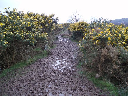
Along the Mawddach trail we went, but only as far as Arthog where we endured a trudge along a horribly muddy path (hemmed in on either side by gorse bushes, so no possibility to trespass a little in order to avoid the mud):

Suitably covered in mud (those nice startling-blue Roclites now brown all over) we emerged at St Catherine’s chapel, which was sporting jovial decorations around the door, left over from their Easter celebrations.
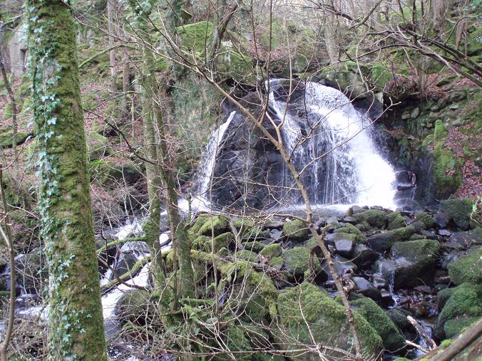
The walk up Arthog falls is always pleasing and today was no exception, climbing upwards through the varied woodland with the multiple falls on our left. Today they gave a better display than I recall having seen before, being somewhat in spate.


I stared down a horned sheep at the top of the falls:

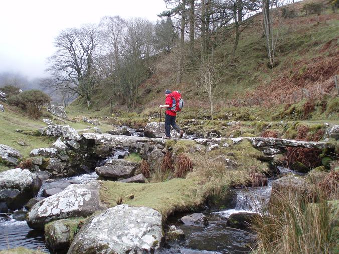
Then a few paces later Husband demonstrated the use of the pretty slate bridge at the top of the falls,

which seemed like a jolly good location to resolve the rumbling tummy with a banana break.
Now out on the open hill, our route was somewhat indirect, but it was certainly pleasant. Coming out on the narrow, gated roadway we dog-legged to follow it towards Llynnau Cregennen.
Despite the greyness, it was still a nice place to be on a Wednesday morning, particularly with the snow-dusted hills in the background (which unfortunately you can’t make out in the photo):

As you’ll know if you read my thoughts of yesterday, we didn’t have a cup of tea when we got there, but made do with cold water to go with our flapjacks as we cooled down quickly once stationary.
It would have been nice at this point to have continued around the llyn to pick up a path that we’ve taken before which would have looped us back down to the top of Arthog Falls. Alas, neither of us was certain that we would pick out the Right of Way that we needed to take from the road (last time we went that way it wasn’t waymarked) and we were somewhat lacking an important navigational tool on this day.
I admitted last week that I was recklessly or negligently only planning to take one set of maps between us on our LEJOG. This week I went one worse by completely failing to pick up the appropriate map. For the walk up to Cregennen that didn’t worry me. We’ve been up there enough times that even in the event of freakishly bad visibility descending upon us, I had faith that we would be able to find our way. However, it rather scuppered my plans of putting a bit of a loop into the return journey.
So, rather unexcitingly, we retraced our steps, taking in the excellent view back down towards Barmouth as we went (note the bit of blue in the sky):

We were back in Barmouth by lunchtime after 9.5 miles with a goodly bit of hill thrown in and without a single hint of inclement weather.
With the terrain varying from the wide span of Barmouth Bridge, the disused railway bed of the Mawddach Trail, the woodland and the falls, the open hill and the lakes, it's a walk with a bit of everything. If you find yourself in Barmouth with a few hours to spare, I heartily recommend it.
The outing served to declare Husband as being over his flu and back to full health.
And the Roclites? Comfortable the whole way - even the previously uncomfortable right one.


No comments:
Post a Comment